Ireland day 0524. Monday 06 March 2023- UKHip06
| Today’s summary | Spent most of the day indoors while Val expertly looked after me. Went on a short walk up and down the road, and drove out for a very short country walk later on. Did Spanish homework and had a phone call to friend in Scotland later | ||||
| Today’s weather | Cold and grey with some light rain in the afternoon. Light north westerly wind. Appx 7C | ||||
 |
 |
||||
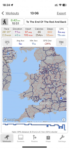
| Today’s overview location (The blue mark shows the location of our route) |
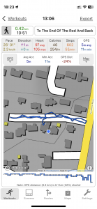
Close-up location (The blue line shows where we walked) (Click button below to download GPX of today’s walk as recorded, or see interactive map at bottom with elevations corrected): Recovery walk to the end of the road |
||||
Commentary
(Summary blog only. Last full blog was Day 0368).
Another day on the long journey to recovery. I mostly stayed indoors while Val looked after me. She’s brilliant.
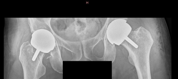
I managed to complete my Spanish homework and send it off for marking, and also got my X rays sent through from the hospital. You can see one in the banner image at the top of this blog. The implant in my left hip (on the right in the image) is the new one; the one on the left in the image was done six years ago.
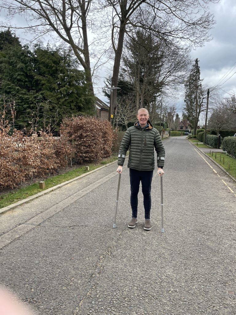
We went on a short walk to the end of the road and back, and then later in the afternoon, Val took me on a drive into the countryside and we had another short stroll. But I didn’t want to overdo it, and it was cold anyway, so we didn’t linger too long.
Some more of “The Trip” (to Italy) in the evening, and a nice phone call with a friend in Scotland. A good day today. Progress was made.
Today’s photos (click to enlarge)
 |
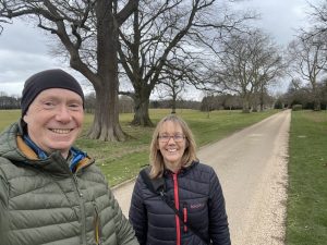 |
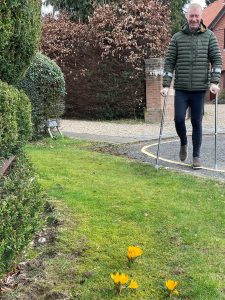
| At the end of the road (literally, not figuratively I hope) | Out in the country with my dedicated and truly excellent support team |
 |
|
| In action down the road. I feel much taller than I did before the operation. I think I had been subconsciously leaning over to my left because of the pain in my hip. Now that it is gone I stand much straighter and it’s great. | |
Interactive map
(Elevations corrected at GPS Visualizer: Assign DEM elevation data to coordinates )
Max elevation: 156 m
Min elevation: 154 m
Total climbing: 2 m
Total descent: -3 m
Total time: 00:10:28
You can read earlier and later days’ blogs below
Previous day’s blog
Next day’s blog
Ireland home page
 Save as PDF