Ireland day 0924. Tuesday 09 April 2024- To Wales
| Today’s summary | Our ferry from Rosslare was delayed this morning so we didn’t get away until 10:30, instead of 08:15. A straightforward crossing. Spent the rest of the day with friends in Abercastle, South Wales | ||||
| Today’s weather | Gale force wind and heavy rain overnight but dry and sunny by morning. Still a strong north westerly wind most of the day, declining in the evening. Appx 10c | ||||
 |
 |
||||
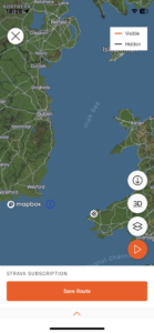
| Today’s overview location (The green mark shows the location of our route) |
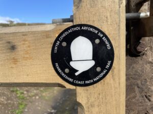
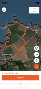
Close-up location (The orange line shows where we walked) (Click button below to download GPX of today’s walk as recorded, or see interactive map at bottom with elevations corrected): Welsh Coast Path from Abercastle |
||||
Commentary
(Summary blog only. Last full blog was Day 0368).
As I lay awake in our B&B last night, listening to the wind howling and the rain lashing down outside, I did begin to wonder if our ferry to Wales would actually be able to depart in the morning. Especially as Irish Ferries, who also operate the Rosslare to Fishguard route, had already cancelled all their sailings for Tuesday.
But in the end, I needn’t have worried. Although our departure was delayed from 8:15 to 10:30 am, it was actually quite a good crossing. The sun shone and despite Stena Line telling us that the ferry was completely full, there was plenty of room on the decks and we managed to get decent window seats near the café.
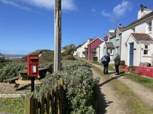
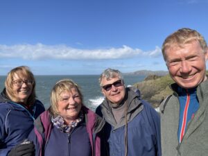
Once we had safely negotiated the Irish Sea, we retrieved the Trusty Yaris from its berth on deck 5 and drove the short distance to Abercastle. Our friends have rented a cottage here for a few days and we are staying with them until Thursday.
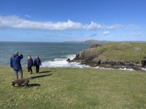
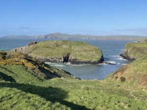
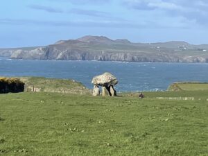
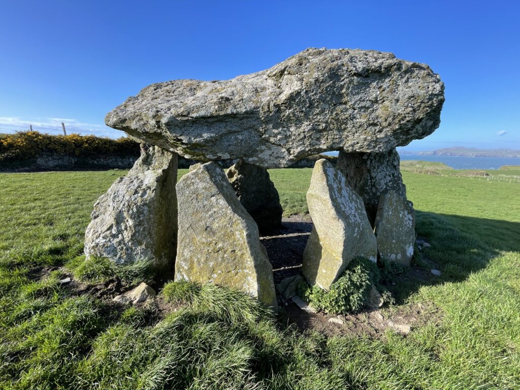
The rest of the day was spent catching up on all the news then a fantastic walk along the coast path round to Trefin and checked out the magnificent Sampson’s Dolmen.
Finished off the day with a glass of delicious Lusca sparkling wine and I have to say it was superb. A great day all round.
Today’s photos (click to enlarge)
Interactive map
(Elevations corrected at GPS Visualizer: Assign DEM elevation data to coordinates )
Max elevation: 63 m
Min elevation: 1 m
Total climbing: 368 m
Total descent: -374 m
Total time: 02:20:00
