Ireland day 0634. Saturday 24 June 2023- Imaal Lugnaquilla DWC
| Today’s summary | Walked up Lugnaquilla with the DWC, via the Glen of Imaal. Drinks in Fentons at the end | ||||
| Today’s weather | Dry and bright with just a few spots of drizzle. Mist on the top and no sun, but sunny on the coast in the evening. Moderate to strong southerly wind. Appx 22c (but much lower on the top) | ||||
 |
 |
||||
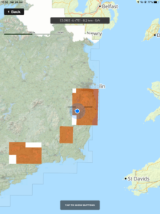
| Today’s overview location (The blue mark shows the location of our route) |
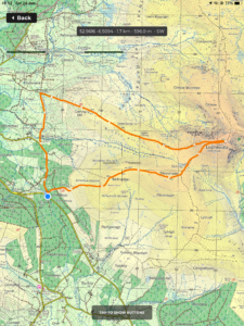
Close-up location (The orange line shows where we walked) (Click button below to download GPX of today’s walk as recorded, or see interactive map at bottom with elevations corrected): Glen of Imaal and Lugnaquilla DWC |
||||
Commentary
(Summary blog only. Last full blog was Day 0368).
After a day off yesterday, we were back out again bright and early this morning to join the Walking Club down in the Wicklow Hills.
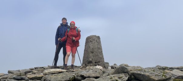
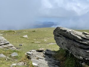
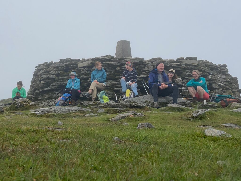
Our destination today was a circular walk above the Glen of Imaal, taking in the summits of Ballineddan, Slieve Maan, Lugnaquilla and Cammera. We met up at Fenton’s Pub then shuttled the cars around to start the walk up at Bonnafoyle, where there is a small parking area. The weather was pretty good – despite the overcast skies it stayed dry more or less dry all day, although by the time we got to the top of Lugnaquilla, it was a bit misty. But despite the stiff wind, it felt pretty mild, so it was an enjoyable walk.
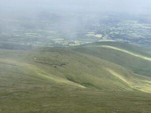
We headed back to the glen via Cammera, enjoying excellent views opening up before us as the sky cleared. We had done pretty much the same walk last September but on that occasion a few of us had headed direct back to Fenton’s, leaving a sub-group to go back up the slope to get the cars from Bonnafoyle. This time, however, we all elected to walk up to the cars and then drive down to the pub for refreshments. So it felt good to “complete the loop” this time, seeing as we hadn’t managed it last time.
Now we’re back in Malahide and it’s concert night again at the castle. Tonight it’s Blur, so I am expecting to be serenaded by “Park Life” at any moment. Bliss?? Still, it’s dead quiet by about 12:18 am, when the last train leaves.
Today’s photos (click to enlarge)
Interactive map
(Elevations corrected at GPS Visualizer: Assign DEM elevation data to coordinates )
Max elevation: 923 m
Min elevation: 218 m
Total climbing: 828 m
Total descent: -827 m
Total time: 05:31:19
