Ireland day 0900. Saturday 16 March 2024- Wet Wicklow
| Today’s summary | Val was working at the museum so I went solo to Glendalough to join a circular Club walk up the Spinc, across to Mullacor and back via the Derrybawn Ridge. Very wet with rain and mist most of the day. But not too unpleasant as it wasn’t windy. Very atmospheric and quite enjoyable despite the poor conditions. | ||||
| Today’s weather | Very wet almost all day. Drizzle and thick mist on summits with heavier rain at times. Moderate southerly wind. Appx 9c | ||||
 |
 |
||||
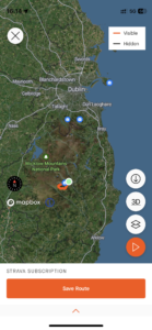
| Today’s overview location (The green mark shows the location of our route) |
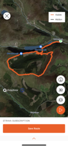
Close-up location (The orange line shows where we walked) (Click button below to download GPX of today’s walk as recorded, or see interactive map at bottom with elevations corrected): Spinc Mullacor Derrybawn DWC |
||||
Commentary
(Summary blog only. Last full blog was Day 0368).
Val is working at the museum again this weekend so today I drove down to Glendalough on my own to join a walking club expedition into the Wicklow Hills.
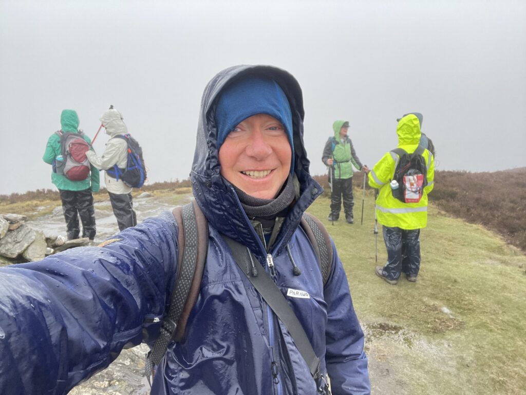
It was drizzling with low cloud when we set off and the weather only got worse during the day. We were out for six hours and only paused briefly for lunch as it was too wet and foggy to sit and enjoy the view anywhere along the way.
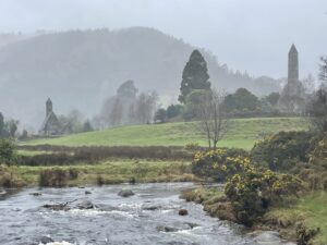
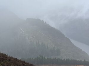
Our route took us up out of Glendalough alongside the Poulanass waterfall (which was looking more spectacular than I can ever recall having seen it before) then up the Spink onto the flanks of Lugduff. The bogs were wet and deep, so the boardwalks at this point were very welcome.
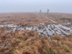
After our brief lunch break in the old quarry where the path crosses the Wicklow Way, we headed on up to the summit of Mullacor. There’s not much to see up there apart from a marker post stuck in the middle of the bog, so we didn’t linger.
Some careful navigation took us down and onto the start of the Derrybawn Ridge. From there it was more of the same – bog and heather, but minus the boardwalks – and then a steep slither down to the main track at Poulanass. We were soon back at the cars and it’s very nice that it’s still light until after 6pm now, even on murky days like today.
Nobody felt inclined to head off for a celebratory drink as by the time we reached the car park we were all soaked through (though my Paramo jacket kept the top half of me dry, at least). Getting somewhere warm and dry, preferably with a hot shower, was our number 1 priority by this stage.
Anyway I’m back in the flat now, Val has returned from work and the washing machine is doing its stuff. So all is well with the world!
Today’s photos (click to enlarge)
 |
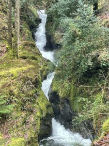 |
| St Kevin’s Monastic City | Poulanass Falls – on the way up to the Spinc |
 |
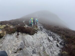 |
| Summit of Mullacor – not a lot to see except bog | On the Derrybawn Ridge |
 |
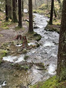 |
| Looking down on Uppler Glendalough lake and the Spink on the descent from Derrybawn | The Lugduff Brook, above the Poulanass Falls |
 |
|
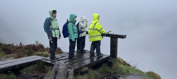
| Enjoying the rain on Derrybawn Ridge | |
Interactive map
(Elevations corrected at GPS Visualizer: Assign DEM elevation data to coordinates )
Max elevation: 659 m
Min elevation: 129 m
Total climbing: 814 m
Total descent: -813 m
Total time: 05:59:46
You can read earlier and later days’ blogs below
Previous day’s blog
Next day’s blog
Ireland home page
 Save as PDF