Ireland day 0979. Monday 03 June 2024- Big Island 2
| Today’s summary | Had breakfast with the geckos on the lanai then drove to the southernmost point of the USA to walk east along the coast to take a look at the greensand (olivine) beach. Hard going because of the strong wind blowing orange dust everywhere, and the 4x4s trying to prove their off-road driving skills. The beach was a bit disappointing – vaguely green but mostly browny grey. Hiked back then pizza again at Blackrock in Captain Cook. | ||||
| Today’s weather | Sunny and dry at first but cloudy later with a little light drizzle. Strong to gale force wind. Up to 30c | ||||
 |
 |
||||
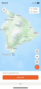
| Today’s overview location (The green mark shows the location of our route) |
Close-up location (The orange line shows where we walked) (Click button below to download GPX of today’s walk as recorded, or see interactive map at bottom with elevations corrected): Green Sand Beach |
||||
Commentary
(Summary blog only. Last full blog was Day 0368).
We had been told that there was a beach made of olivine crystals, just to the east of the southernmost tip of Hawaii Big Island (and therefore of the whole USA). It was said to be worth a visit, and we decided to make it our destination for the day. Combining hiking and geology sounded like a good idea (well it did to me at least..).
A bit of googling revealed the whereabouts of Green Sand Beach so after breakfast on the lanai – shared with a couple of curious geckos – we set off in the car to head south.
It’s further to the southern tip of the island from Captain Cook than it looks on the map. Well over an hour’s drive in fact and the road is narrow and winding. So even though we were off quite promptly this morning, it was after 11 by the time we got there.
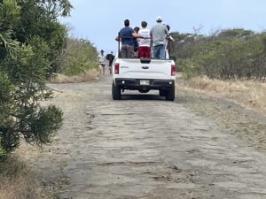
There were also a lot more people about than I expected to find in this remote and – let’s be honest – unprepossessing – spot. Quite an industry has sprung up ferrying punters who don’t want to walk the 4km / 2.5mi to the beach in the back of pickup trucks. These trucks, combined with the numerous rental jeeps that were being driven to prove their occupants’ off-roading skills (mostly unsuccessfully), made it quite a congested and unrelaxing hike.
The stressy ambience was further exaggerated by the gale force wind which was blowing in our faces all the way to the beach – carrying with it fine orange dust which had been stirred up by the 4x4s, getting into our clothes, nostrils and eyes. At least the sun was obscured by cloud today – otherwise the heat would have stretched the grimness still further. I guess we just got lucky today – though it was still pretty hot
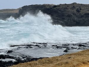
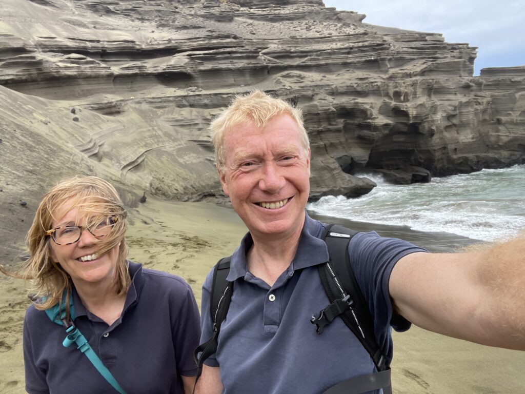
Eventually we made it to the beach and it was quite interesting – vaguely green, but not spectacularly so – more brownish grey in reality. Also the tide was in and a strong swell was pushing big breakers right to the top of the sands. So there wasn’t too much to see.
Anyway, we had our lunch watching the surf, then climbed down the ladder to get to the beach itself, at least to be able to say we had been there.
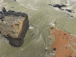
The way back was a lot easier, as we had the wind on our backs and not in our faces. By chance, we also came upon a small cove which had far greener sand and no people on it. The map actually identified it as Green Sand Spot.
Once back at the car, we were getting hungry so we drove straight back to Captain Cook to get another delicious pizza from Black Rock café.
We are back at the guesthouse now and enjoying a glass of wine on the lanai. It feels well deserved today I have to say. Then it will be an early night as the jungle is noisy here and reaches a crescendo as the sun comes up. So we need to adjust our body clocks to fit around the sun, to make the most of the relatively quieter sleeping time. That means early to bed and early to rise, which is a bit of a novelty for us both!
Today’s photos (click to enlarge)
Interactive map
(Elevations corrected at GPS Visualizer: Assign DEM elevation data to coordinates )
Max elevation: 32 m
Min elevation: 2 m
Total climbing: 196 m
Total descent: -195 m
Total time: 03:34:16


