Ireland day 0606. Saturday 27 May 2023- Camaderry Long DWC
| Today’s summary | I did a long circular Club walk around Glendalough taking in Lough Ferrib and Camaderry. Val had a day off and cycled to Howth and back. Longest walk since hip operation and thoroughly enjoyed it. | ||||
| Today’s weather | Dry and bright with long sunny spells in the morning and evening. hardly any wind, even up high. Appx 18C in valley | ||||
 |
 |
||||
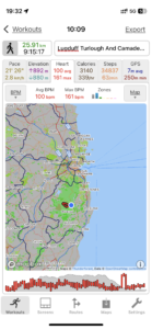
| Today’s overview location (The blue mark shows the location of our route) |
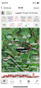
Close-up location (The red line shows where we walked) (Click button below to download GPX of today’s walk as recorded, or see interactive map at bottom with elevations corrected): Lugduff Ferrib Turlough and Camaderry loop |
||||
Commentary
(Summary blog only. Last full blog was Day 0368).
Just a short blog as it’s getting late and we have another very early start tomorrow.
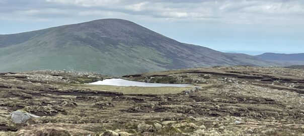
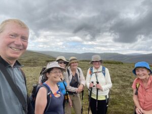
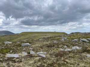
But a momentous day, because I did a long 26km walk right round the Glendalough valley, taking in at least six summits and the tiny, high altitude Lough Ferrib (in the banner image) along the way on a fabulous day out with the walking club. Val decided not to come, as she’d just done a 4 day shift at the museum and quite understandably wanted a bit of a rest. (Nevertheless she still managed to cycle to the top of Howth and back – at least 30km).
The walk was extremely enjoyable – the longest, by far, since my hip operation, and actually I think the longest since we came to Ireland nearly 2 years ago. I was so pleased to do it, and almost without pain, too. Plus it was a lot of new territory for me, and I was especially pleased to get up the Camaderry ridge (above Lough Nahanagan) as I’d been wanting to do it for some time.
But I must stop now as I have some packing to do…
Today’s photos (click to enlarge)
 |
 |
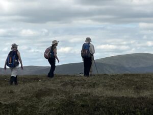
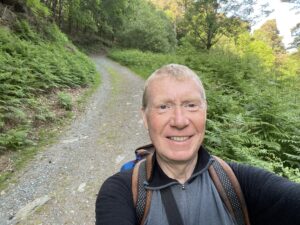
| Nearing the top of Top of the Bounds, just before Lugduff | On the top of Lugduff. One of many min-summits reached along the way |
 |
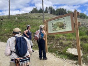 |
| I took this towards the end, actually, almost back in the Glendalough valley | Information board at the start of the ascent of the Spink |
 |
 |
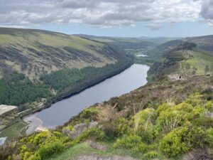
| Looking down on both the Glendalough lakes from the Spink | Turlough Hill upper reservoir (with the flat top) |
 |
|
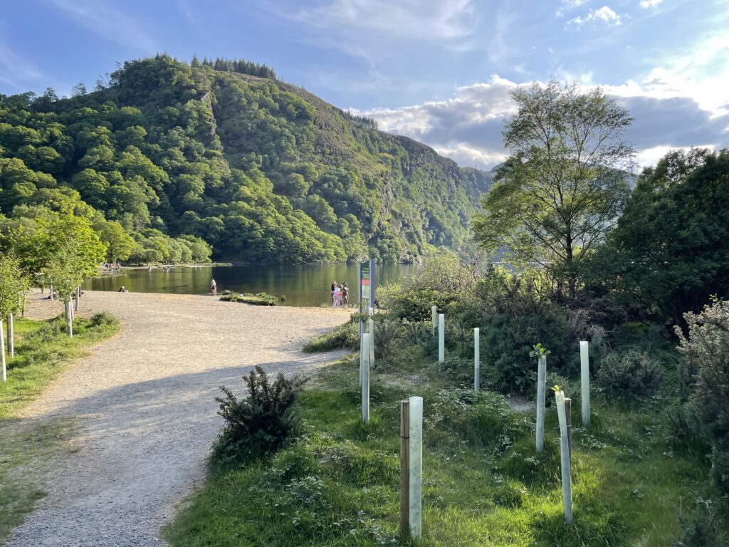
| Glendalough upper lake this evening | |
Interactive map
(Elevations corrected at GPS Visualizer: Assign DEM elevation data to coordinates )
Max elevation: 701 m
Min elevation: 128 m
Total climbing: 1147 m
Total descent: -1147 m
Total time: 09:15:09
You can read earlier and later days’ blogs below
Previous day’s blog
Next day’s blog
Ireland home page
 Save as PDF