Ireland day 0675. Friday 04 August 2023- Kilruddery and Locus
| Today’s summary | Visited Kilruddery House and Gardens, just off the M11 near Little Sugarloaf. Beta tested Locus Maps for iOS | ||||
| Today’s weather | Overcast most of the day with heavy rain forecast later but still dry in the evening. Moderate north westerly wind. Appx 18C | ||||
 |
 |
||||
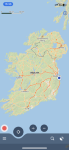
| Today’s overview location (The blue mark shows the location of our route) |
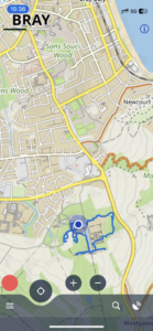
Close-up location (The blue line shows where we walked) (Click button below to download GPX of today’s walk as recorded, or see interactive map at bottom with elevations corrected): Kilruddery and Locus iOS beta |
||||
Commentary
(Summary blog only. Last full blog was Day 0368).
It was Val’s idea to visit Kilruddery today – and I’m glad we did because it was excellent. And also quite surprising that we hadn’t been before, as it’s less than an hour’s drive away – round the M50 and down the M11 – from Malahide.
But before we set off, we had to deal with a maintenance engineer who was scheduled to visit the flat this morning at 9am (he was bang on time) to do some repairs. A bit of painting, a broken light switch, and a new bulb. Very efficient service meant that we were able to get away by 10am, which is pretty unusual for us.
The house and gardens (which are substantial) have been owned by the Brabazon family since the 1600s, and they are situated in the valley between between Bray Head and the Little Sugarloaf. In terms of its style and mountainous surroundings, it feels a bit Scottish. The house was closed today for a private event, so we couldn’t visit, but the grounds were extensive and interesting, with many unusual and rare plants. It took us most of the day to have a good look round.
For me though the highlight of the day wasn’t so much the house and gardens, beautiful as they were, but the arrival of an email inviting me to try out the Locus Maps navigation app. It’s highly rated on Android but has not been available on iOS until a beta was made available today. So I’m very much looking forward to seeing how it performs as it might be a good replacement for the greatly-missed ViewRanger. My initial impressions from a quick trial as we walked round the gardens today were favourable.
We finished our visit – and Locus Maps test – at about 4pm. But we enjoyed it so much that we decided to take out annual membership – which will also give us access to the much wider Kilruddery estate which extends beyond the boundaries of the demesne, right up to the top of the Little Sugarloaf. So we will be back!
Today’s photos (click to enlarge)
 |
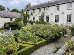 |
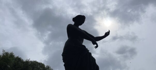
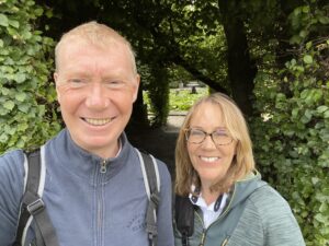
| Not quite so orange in today’s unfiltered selfie | The parterre by the tearoom |
 |
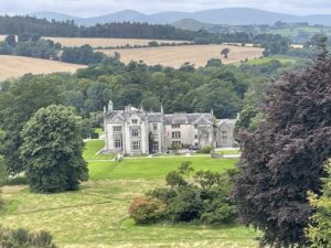 |
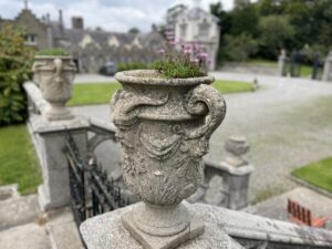
| Decorative urn overlooking the main entrance to the front of the house | Looking down on Kilruddery house with the Wicklow Hills in the background. From the top of The Rock outcrop at the eastern boundary of the garden |
 |
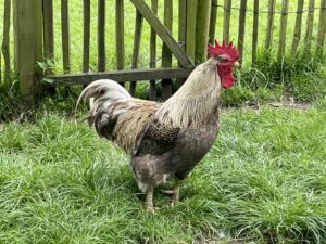 |
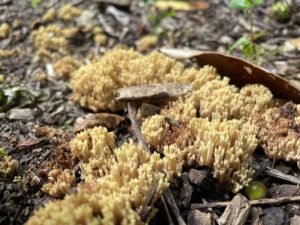
| Curious fungus growing in the woodland – looks a but like dead man’s fingers but I don’t think it actually is | Ruling the roost! |
 |
|
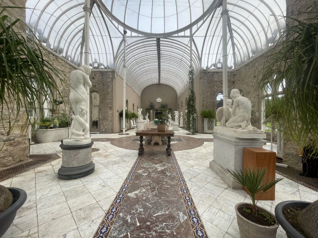
| Peering in through the doors of the Orangery – we couldn’t go in today as the house was closed for a family function | |
Interactive map
(Elevations corrected at GPS Visualizer: Assign DEM elevation data to coordinates )
Max elevation: 95 m
Min elevation: 48 m
Total climbing: 178 m
Total descent: -178 m
Total time: 04:53:10
You can read earlier and later days’ blogs below
Previous day’s blog
Next day’s blog
Ireland home page
 Save as PDF