Ireland day 0684. Sunday 13 August 2023- Hazelhatch
| Today’s summary | Drove round to Hazelhatch and parked at the station car park. Joined the rest of the Walking Club for stroll along the Grand Canal to Sallins | ||||
| Today’s weather | Mostly cloudy and bright but some heavy downpours in the evening. Moderate to strong south westerly wind. Appx 19C | ||||
 |
 |
||||
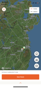
| Today’s overview location (The green mark shows the location of our route) |
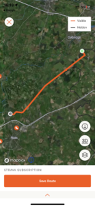
Close-up location (The orange line shows where we walked) (Click button below to download GPX of today’s walk as recorded, or see interactive map at bottom with elevations corrected): Hazelhatch to Sallins DWC |
||||
Commentary
(Summary blog only. Last full blog was Day 0368).
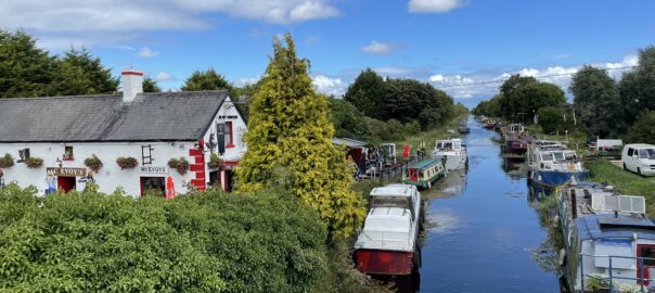
The Grand Canal runs from the south shore of the Liffey in Dublin, as far as the Shannon river at Shannon Harbour. We have walked a few short stretches of it but never been very far outside Dublin. So today we took the chance to join the Walking Club to extend our knowledge of Ireland’s inland navigations with a stroll along the canal towpath from Hazelhatch to the village of Sallins.
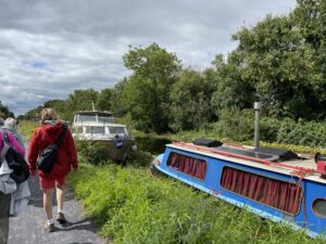
It was billed as a 12km walk but it turned out a bit longer than that – at closer to 16. But very enjoyable indeed, despite being pretty level, and always having the canal on our right hand sides. There were quite a few walkers and bikers about when we started, but as we got further from the city centre, it got quieter and quieter, so by the time we got to Sallins, we were pretty much the only people about.
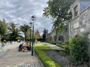
En route we paused to have our sandwiches by the “Cliffs at Lyons” venue which as well as a tea-room features a very smart Michelin-starred restaurant (we didn’t go in, sadly). The second half of the walk, onwards to Sallins, seemed to take a long time, as the pace slowed a bit after lunch. Still, the weather was fair and there was no shortage of daylight, so everyone seemed happy to plod along.
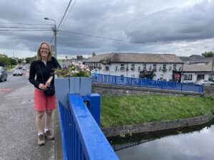
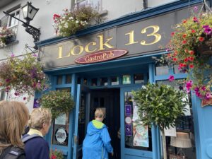
Once we got to Sallins, the idea was to catch the train back one station down the line to Hazelhatch, to be reunited with the cars. But the timing didn’t work, as we would have had almost three hours to wait. So instead, we went to the nearby “lock 13” pub and had a beer and some chips, then caught a bus. The bus journey was a bit convoluted, involving a change at Leixlip, but worked smoothly enough. Then a swift drive round the M50 saw us back in Malahide by 9pm.
It felt like a full day out, but with loads of chat to sustain us as we walked, it felt like no time at all.
Today’s photos (click to enlarge)
Interactive map
(Elevations corrected at GPS Visualizer: Assign DEM elevation data to coordinates )
Max elevation: 86 m
Min elevation: 57 m
Total climbing: 173 m
Total descent: -154 m
Total time: 05:29:18
