Ireland day 0671. Monday 31 July 2023- UK Wedding 06
| Today’s summary | Some property maintenance in the morning, then a visit from a family member in the afternoon, and dinner with a friend in the Old Town in evening | ||||
| Today’s weather | Drizzly in the morning, then heavy rain all afternoon, and dry evening with some sunny spells. Light westerly wind. Appx 19C | ||||
 |
 |
||||
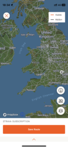
| Today’s overview location (The blue mark shows the location of our route) |
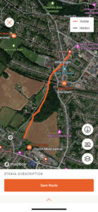
Close-up location (The orange line shows where we walked) (Click button below to download GPX of today’s walk as recorded, or see interactive map at bottom with elevations corrected): Walk to the Old Town |
||||
Commentary
(Summary blog only. Last full blog was Day 0368).
We are fast approaching the end of our wedding-based sojourn to the UK. So today was our last full day on this side of the Irish Sea and we spent much of it working on some domestic maintenance and admin issues. In the afternoon, one of our family members dropped round to see us and pick up some things, and to say goodbyes before he headed back to Canada.
Later in the afternoon, I wrote a brief paper on Carbon Capture and Storage for an organisation in Ireland, and joined a beta test of a new mapping app, which I am very much looking forward to trying out.
Finally, in the evening a friend in the Old Town invited us down for dinner, and as alcohol was likely to feature on the menu, we elected to walk down. It worked out very well and it was wonderful to catch up with someone we haven’t seen for a while. The return back up the hill was uneventful, although pitch black!
We have a long drive to Holyhead and onwards to Ireland tomorrow. But looking forward to getting back!
Today’s photos (click to enlarge)
 |
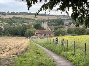 |
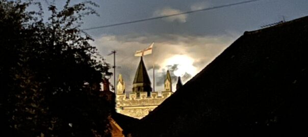
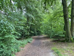
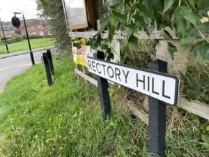
| Rectory Hill woods, on the start of our walk out to dinner | An “iconic” view of the old town, with St Mary’s Church |
 |
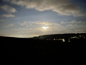 |
| Down in the old town for dinner this evening | The Misbourne Valley by moonlight on the way back up the hill after dinner |
 |
|
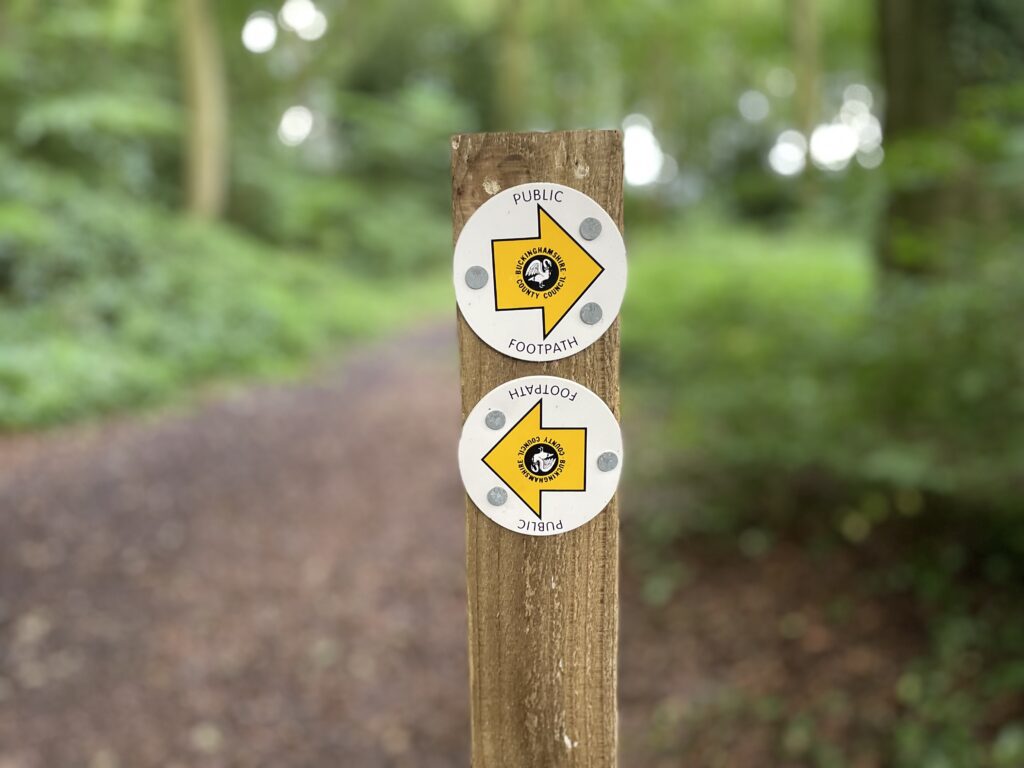
| The extensive network of public footpaths is one of the UK’s greatest assets. It must be protected at all costs! | |
Interactive map
(Elevations corrected at GPS Visualizer: Assign DEM elevation data to coordinates )
Max elevation: 156 m
Min elevation: 93 m
Total climbing: 16 m
Total descent: -76 m
Total time: 00:25:28
You can read earlier and later days’ blogs below
Previous day’s blog
Next day’s blog
Ireland home page
 Save as PDF