Ireland day 0940. Thursday 25 April 2024- Flying Visit
| Today’s summary | Caught an early morning flight to Stansted and then travelled across London for a lunchtime meeting with former work colleagues at the Lensbury club in Teddington. Returned from Gatwick to Dublin in the evening. A long day but very enjoyable to catch up with people I hadn’t seen for many years. | ||||
| Today’s weather | Cool and bright in the morning, rain later. Moderate westerly wind. Appx 12c | ||||
 |
 |
||||
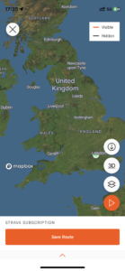
| Today’s overview location (The green mark shows the location of my route) |
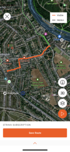
Close-up location (The orange line shows where I walked) (Click button below to download GPX of today’s walk as recorded, or see interactive map at bottom with elevations corrected): Teddington to Lensbury |
||||
Commentary
(Summary blog only. Last full blog was Day 0368).
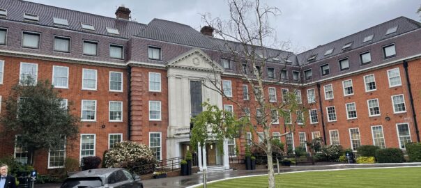
Every year, a group of colleagues from the company I used to work with in the 1980s and 90s get together for a social lunch. They meet in the “Lensbury” – an up-market sports club on the Thames at Teddington. I last went 5 or 6 years ago – well before the pandemic – but in the intervening years I’ve been too busy or had diary clashes. I decided to put that right today, and make a flying visit to London to see how everyone was getting on.
This of course meant an early start – 6am from Malahide to catch a 7:55 flight to Stansted. The journey went well – flights, trains and the Underground all connected smoothly and I was at Lensbury in good time for the 1pm start.
I enjoyed the lunch very much. Although most of the attendees were retirees slightly older than myself (the oldest was a sprightly 98), all were in good spirits and doing interesting things. The time flew and it was soon time say goodbyes and retrace my steps to Dublin – well, not quite as I came back via Gatwick – and to a resumption of our Irish explorations.
The homeward journey went straightforwardly and Val picked me up at the airport just before 10pm. It’s been a long but rewarding day – I’ll sleep well tonight, I think.
Today’s photos (click to enlarge)
 |
 |
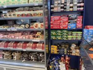
| Irish essentials on sale at Dublin airport this morning – sausages and tea for all those far-flung cousins! | Sunrise over Lambay Island just visible through teh window |
 |
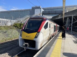 |
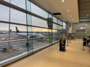
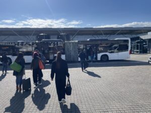
| Bus transfer at Stansted airport always a bit of a pain – but worked smoothly enough today. By the way the blue sky didn’t last – I was raining by the afternoon! | Stansted Express direct to Liverpool Street |
 |
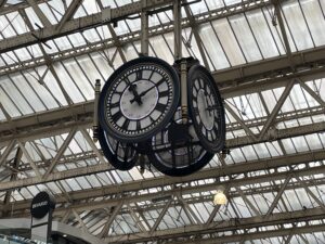 |
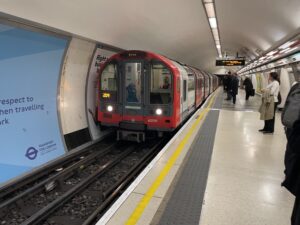
| Waterloo and City Line – AKA “The Drain” | Iconic clock-cum-meeting place at Waterloo station |
 |
|
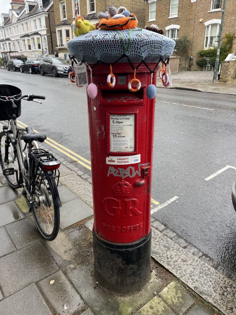
| Decorative post box in Teddington! | |
Interactive map
(Elevations corrected at GPS Visualizer: Assign DEM elevation data to coordinates )
Max elevation: 9 m
Min elevation: 5 m
Total climbing: 7 m
Total descent: -10 m
Total time: 00:18:10
You can read earlier and later days’ blogs below
Previous day’s blog
Next day’s blog
Ireland home page
 Save as PDF