A winter walk in the north


| Status update | |
| Today’s date | Thursday 10 March 2016 |
| Current location | Kirk Yetholm |
| Miles walked | 290.75 |
| Miles left | 0.00 |
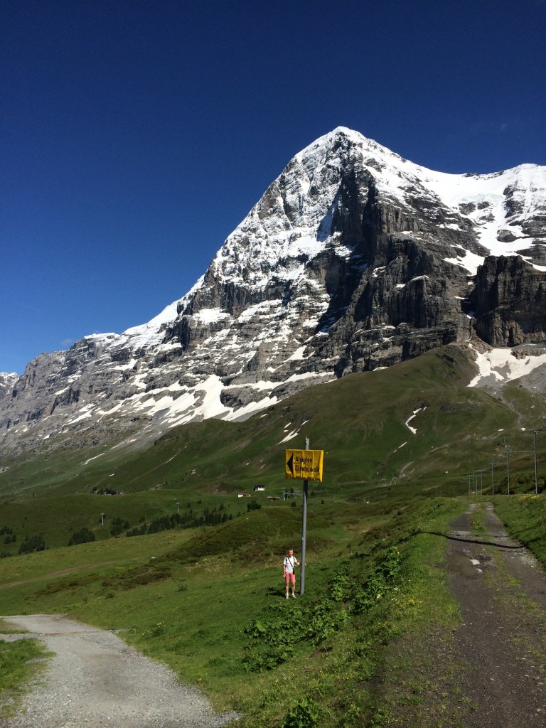
Between Monday 22 February and Thursday 10 March 2016 I am walking the Pennine Way.
Click links below to read the daily blog:
| Day | Date | Start | Finish | Link |
| 00 | Sun 21 Feb 2016 | Home | Edale | daily blog |
| 01 | Mon 22 Feb 2016 | Edale | Crowden | daily blog |
| 02 | Tue 23 Feb 2016 | Crowden | Diggle | daily blog |
| 03 | Wed 24 Feb 2016 | Diggle | Hebden Bridge | daily blog |
| 04 | Thu 25 Feb 2016 | Hebden Bridge | Ponden | daily blog |
| 05 | Fri 26 Feb 2016 | Ponden | Gargrave | daily blog |
| 06 | Sat 27 Feb 2016 | Gargrave | Horton | daily blog |
| 07 | Sun 28 Feb 2016 | Horton | Hawes | daily blog |
| 08 | Mon 29 Feb 2016 | Hawes | Keld | daily blog |
| 09 | Tue 01 Mar 2016 | Keld | Bowes | daily blog |
| 10 | Wed 02 Mar 2016 | Bowes | Middleton in T. | daily blog |
| 11 | Thu 03 Mar 2016 | Middleton in T. | Langdon Beck | daily blog |
| 12 | Fri 04 Mar 2016 | Langdon Beck | Dufton | daily blog |
| 13 | Sat 05 Mar 2016 | Dufton | Alston | daily blog |
| 14 | Sun 06 Mar 2016 | Alston | Greenhead | daily blog |
| 15 | Mon 07 Mar 2016 | Greenhead | Greenlee L. | daily blog |
| 16 | Tue 08 Mar 2016 | Greenlee L. | Bellingham | daily blog |
| 17 | Wed 09 Mar 2016 | Bellingham | Byrness | daily blog |
| 18 | Thu 10 Mar 2016 | Byrness | Kirk Yetholm | daily blog |
| Kirk Yetholm | Home | (no blog) |
This website has all the details of my walk, and a blog with a record of my progress on a day-by-day basis
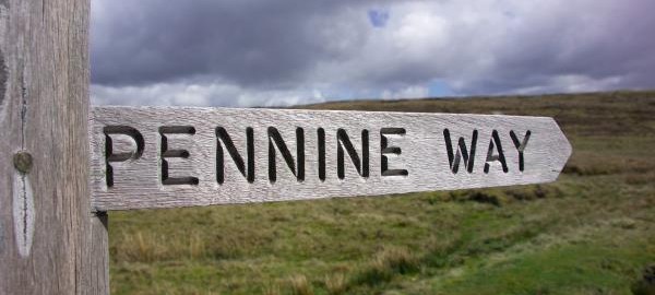
 The Pennine Way is a 280-mile walk in the north of England, from Derbyshire to the Scottish border. It is mostly at high level, running along the Pennine Hills.
I’m walking it from Edale in the south, to Kirk Yetholm in the north.
There’s a good reference article on the Pennine Way here
An overview map of the route is shown on the right – for more detailed maps, go to the “Itinerary” page
This is what you can find on the website
I’m expecting this will take 18 days, and I’m writing a blog which you can view by clicking here, and which will be updated daily.
The pages in the menu give access to:
- My daily blog
- The itinerary I’ll be following
- Dowloadable GPX files of the Pennine Way (complete, and daily stages)
- “Why and how” background to the history and logistics of this walk
- Details on how to contact me, including a “message me” comments box
- A realtime tracker which is sending a GPS beacon signal every 2 minutes as I walk
- Background on a much longer Land’s End to John O’Groats walk I did in 2014
If you’re looking for my website about the 2014 Lands End to John O’Groats hike, then click here .
 Save as PDF