Ireland day 0508. Saturday 18 February 2023- Derrybawn
| Today’s summary | Val was working so I drove down to Portmarnock to pick up a friend then we went on to Laragh to walk the Derrybawn loop with the walking club. A bit grey and drizzly but very enjoyable day out nevertheless | ||||
| Today’s weather | Grey overcast and drizzly to start with. Brightened up a bit later and by the time we were back at the cars the sun was shining. Light wind at the start but gale to severe gale westerly wind on the ridge. Appx 10C but feeling colder higher up. | ||||
 |
 |
||||
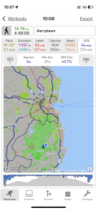
| Today’s overview location (The blue mark shows the location of our route) |
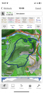
Close-up location (The blue line shows where we walked) (Click button below to download GPX of today’s walk as recorded, or see interactive map at bottom with elevations corrected): Derrybawn via Cullentragh DWC |
||||
Commentary
(Summary blog only. Last full blog was Day 0368).
I was out with the club again, while Val sadly had to earn a crust at the museum.
An early start as I picked up a friend in Portmarnock at 8:30 am before heading down to Laragh and the start of the hike. Just enough spare time to drop into Clodagh’s lovely rustic café on the Green in Laragh to pick up a coffee en route.
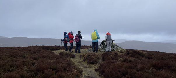
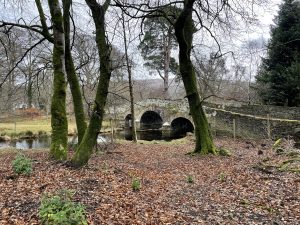
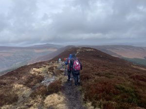
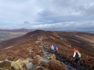
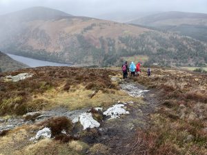
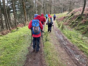
The walk itself followed a similar route to the one we had done in July last year, but starting at Laragh rather than Glendalough, and with a better return section (not along the green lane which always seems to be uphill no matter which way you walk it). Decent views and not too many people out, which was nice.
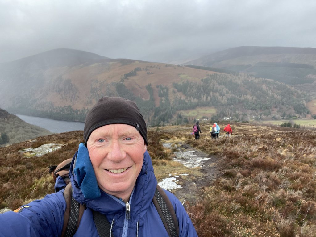
Great chat, as always, and even the chance to practice my Spanish with a fellow walker who’s also learning. The weather wasn’t perfect – grey and drizzly to start with, then blastingly windy along the Derrybawn ridge on the way back. But not unmanageable and the gear (including new Paramo jacket) performed well.
Back fairly early so dropped into Lynham’s for refreshment – sadly limited to a cup of tea in my case as I was driving. Another great, friendly, day out.
Today’s photos (click to enlarge)
Interactive map
(Elevations corrected at GPS Visualizer: Assign DEM elevation data to coordinates )
Max elevation: 509 m
Min elevation: 129 m
Total climbing: 639 m
Total descent: -639 m
Total time: 04:47:59
