Ireland day 0509. Sunday 19 February 2023- Sutton Coast
| Today’s summary | Joined the Walking Club for a short walk from Sutton to Portmarnock but added on an extra bit to Malahide at the end. Val was working. When we were both back we had satay baked aubergine for dinner | ||||
| Today’s weather | Dry and bright, with long sunny periods in the afternoon. Strong westerly wind. Appx 12C | ||||
 |
 |
||||
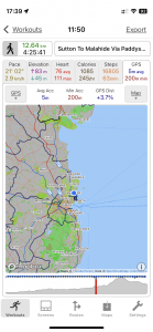
| Today’s overview location (The blue mark shows the location of our route) |
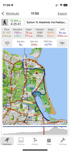
Close-up location (The blue line shows where we walked) (Click button below to download GPX of today’s walk as recorded, or see interactive map at bottom with elevations corrected): Sutton to Malahide via Paddys Hill |
||||
Commentary
(Summary blog only. Last full blog was Day 0368).
Another excursion with the walking club while Val was out at work.
Today it was just a short walk north along the coast from Sutton DART station (although I actually took the bus to the start, as it’s more convenient from Malahide, and I enjoy the view from the top deck). The walk was billed as finishing at Portmarnock but I left the rest of the group when they finished and added on a few more km over Paddy’s Hill right back to Malahide. It’s familiar all territory – Val and I were there only as recently as last Thursday. But it was a nice day, and we were heading north rather than south, so there is always plenty new to see.
It was good to catch up with walking club friends again – always plenty of news to discuss! I got back just as Val was returning work so now we’re going to relax and enjoy baked aubergine with satay sauce for dinner. Very tasty and nutritious!
Today’s photos (click to enlarge)
 |
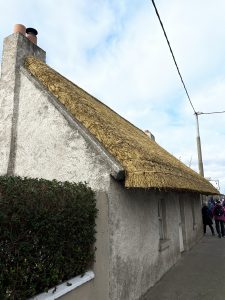 |
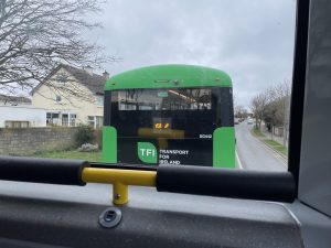
| View from the top deck of the H2 to Baldoyle and the start of the walk from Sutton station | Thatched cottage in Baldoyle. I’d never noticed it before – though in my defence, the thatch looked like it had been (partially) replaced, so previously it probably wouldn’t have stood out quite so much |
 |
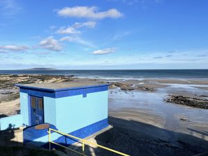 |
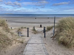
| Through the dunes to the Velvet Strand. It looks very Californian, though sadly rarely feels like it | On the top end of the Portmarnock beach, just before you get to the Lithostrotion beds |
 |
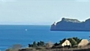 |
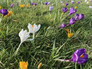
| Multicoloured crocii at the bottom of Robswall park | Long telephoto shot over Ireland’s Eye from the top of Paddy’s Hill. The Mournes were clearly visible from here, so the grey blur on the horizon might be Angelsey |
 |
|
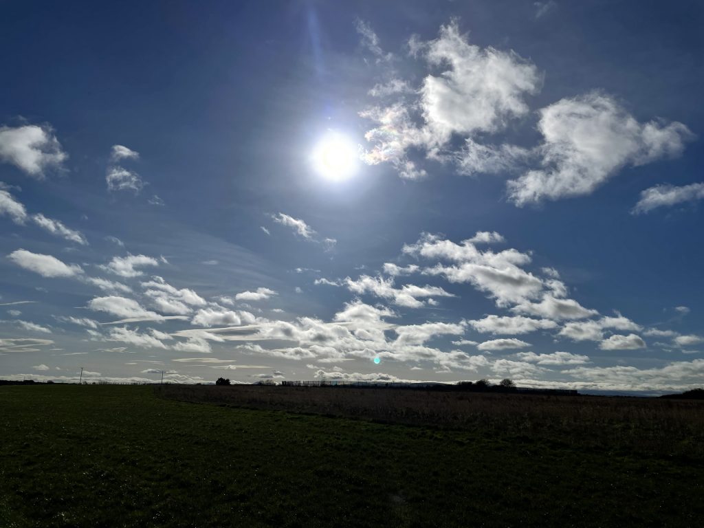
| Glorious sun – from the old Baldoyle racecourse | |
Interactive map
(Elevations corrected at GPS Visualizer: Assign DEM elevation data to coordinates )
Max elevation: 50 m
Min elevation: -1 m
Total climbing: 166 m
Total descent: -158 m
Total time: 04:25:39
You can read earlier and later days’ blogs below
Previous day’s blog
Next day’s blog
Ireland home page
 Save as PDF