Ireland day 0484. Wednesday 25 January 2023- Skyscapes
| Today’s summary | Val was at work so I spent the morning on a video call to a friend then after a sandwich lunch, went on a walk through the Robswall estate. Lough Avalla beef casserole for dinner, with beer. | ||||
| Today’s weather | Dull and damp in the morning, bright with plenty of sun and occasional light showers in the afternoon. Light north westerly wind. Appx 10C | ||||
 |
 |
||||
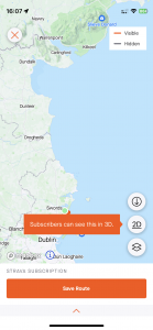
| Today’s overview location (The green mark shows the location of my route) |
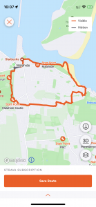
Close-up location (The orange line shows where I walked) (Click button below to download GPX of today’s walk as recorded, or see interactive map at bottom with elevations corrected): Robswall skyscapes walk |
||||
Commentary
(Summary blog only. Last full blog was Day 0368).
Val was at work most of the day, but as soon as she left I had a video call with a UK friend – although it almost didn’t happen as we were using Teams – the Microsoft system that had global technical issues this morning. So we switched to WhatsApp video instead and that worked fine. It was good to catch up.
By the time we had finished putting the world to rights, it was lunchtime, and I was hungry. So after a quick ham sandwich (and a jam-filled Wagon Wheel I have to confess) I headed out to get some fresh air. The timing was fortunate as it had been grey and damp all morning but by the time I was ready to venture out, it had cleared and the sun was shining.
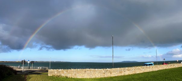
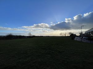
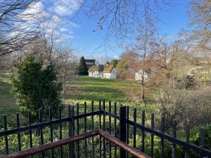
For the first time in many weeks, it felt as if there was actually some warmth in the sun for a few moments this afternoon. I decided to follow one of my favourite routes – up through the eastern edge of the castle demesne, then along Seamount Road, into the Jameson estate, up Paddy’s Hill, and down to the coast through the Robswall estate. Midway round, a big, clear rainbow appeared out to sea, neatly bracketing Lambay island.
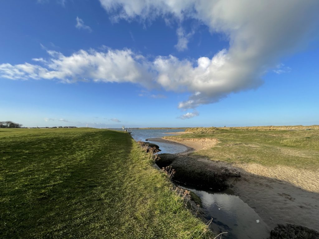
Fortunately the rain which had led to its appearance missed me and I completed my walk along the coast without getting a soaking. More Lough Avalla beef casserole for dinner tonight. And maybe a nice beer to go with it too.
Today’s photos (click to enlarge)
 |
 |
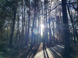
| In the castle demesne woods. I keep trying to delude myself that I am in Finland | In Jameson orchard. I had thought this field was earmarked for development, but there doesn’t seem to be any sign of anything happening |
 |
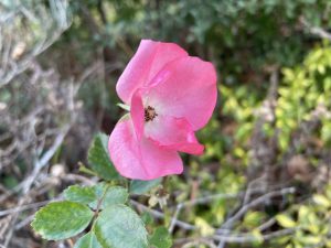 |
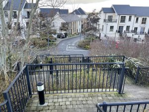
| Coming down the zigzag steps off Robswall Hill (aka Paddy’s Hill) into the eponymous estate | The official January rose! Thriving in the Robswall housing estate |
 |
 |
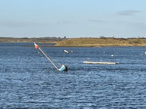
| The blue boat in centre view is almost completely submerged in the middle of the Malahide marina. Not sure when it sank – I haven’t noticed it before | From up near the railway bridge, looking down on the Casino model railway museum, where Val was hard at work |
 |
|
| Down on Malahide beach, with the tide almost fully in. A beautiful day | |
Interactive map
(Elevations corrected at GPS Visualizer: Assign DEM elevation data to coordinates )
Max elevation: 50 m
Min elevation: 0 m
Total climbing: 102 m
Total descent: -103 m
Total time: 01:23:26
You can read earlier and later days’ blogs below
Previous day’s blog
Next day’s blog
Ireland home page
 Save as PDF