Ireland day 0567. Tuesday 18 April 2023- Unaided
| Today’s summary | Val was at work. I spent the morning writing a paper for the Geological Society (of London) on Irish Ice Ages, then went on a short walk up Paddy’s Hill. Spanish class in the evening | ||||
| Today’s weather | |Sunny and dry all day. Strong easterly wind. Appx 10C | ||||
 |
 |
||||
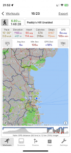
| Today’s overview location (The blue mark shows the location of my route) |
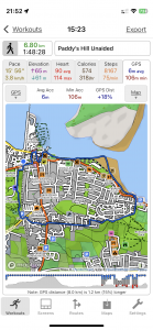
Close-up location (The blue line shows where I walked) (Click button below to download GPX of today’s walk as recorded, or see interactive map at bottom with elevations corrected): Paddy's Hill without sticks |
||||
Commentary
(Summary blog only. Last full blog was Day 0368).
Val was at work and I spent the morning dealing with some paperwork then starting to write an informal paper on Ice Age Dublin for the Geological Society.
By the time I’d got through all this, it was lunchtime and I was getting hungry, so I stopped work, had something to eat, then went off on a slightly more extended walk – up Paddy’s Hill – without crutches or poles. It went well – though I did manage to slip on my backside on a patch of mud on the way down – no harm done, except to my pride.
Spanish in the evening, and the cold which has been bothering me since Friday night seems to have more or less cleared up now (touch wood). Hasta luego!
Today’s photos (click to enlarge)
 |
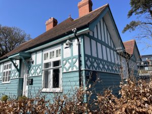 |
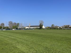
| Looking back to Malahide from the sports pitches on the demesne | The former gatekeeper’s house at Jameson Orchard. I think it looks quite attractive – though slightly spoiled nowadays by being surrounded by a large modern block of flats |
 |
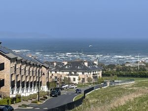 |
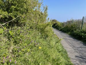
| Path across the top of Paddy’s Hill | Looking out to sea from the top of Paddy’s Hill, above Robswall. Unusually for this part of the coast, there’s quite a lot of surf running – the result of the strong easterly wind today |
 |
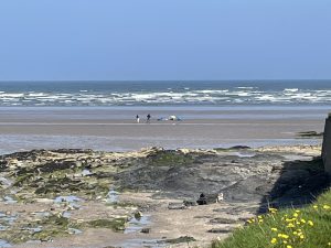 |
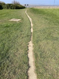
| Last stretch of the path to the coast. It’s nice briefly not to be walking on tarmac | Windsurfers making the most of the unusual weather conditions |
 |
|
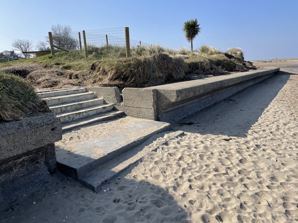
| These steps were more or less covered with sand at the start of this year but are rapidly reappearing as the shifting sands are eroding again – probably two metres so far this year already | |
Interactive map
(Elevations corrected at GPS Visualizer: Assign DEM elevation data to coordinates )
Max elevation: 49 m
Min elevation: 0 m
Total climbing: 99 m
Total descent: -98 m
Total time: 01:48:20
You can read earlier and later days’ blogs below
Previous day’s blog
Next day’s blog
Ireland home page
 Save as PDF