Ireland day 0352. Thursday 15 September 2022- Misbourne
| Today’s summary | Spent the day in the Misbourne Valley and wider Chilterns visiting family. Managed to fit in a quick walk down to the shops | ||||
| Today’s weather | Dry and mostly bright. Some sun in the afternoon. Light westerly wind. About 17C | ||||
 |
 |
||||
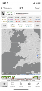
| Today’s overview location (The blue mark shows the location of my route) |
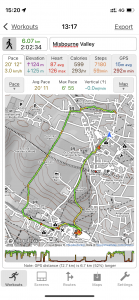
Close-up location (The green line shows where I walked) (Click button below to download GPX of today’s walk as recorded, or see interactive map at bottom with elevations corrected): Down the hill to the Misbourne valley |
||||
Commentary
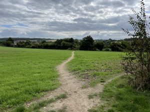
The main purpose of my visit – catching up with family – didn’t start until later in the day today. So I had a morning and the best part of the afternoon to go to the shops, get some lunch and take a short walk in the countryside before I headed over to my evening engagement.
It was nice to get out into the countryside- in Ireland l really miss the easy access that the UK’s rights of way offer, and it’s something I will certainly no longer take for granted when I am on this side of the Irish Sea. It was also good to see the countryside looking “green and pleasant” again. It’s been a dry hot summer over here and the last time I visited everywhere was looking dried up and brown. The restorative powers of rain, and the resilience of the biosphere, are remarkable.
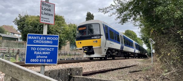
While in Ireland we’ve both become rather dab hands at getting about by public transport – those months without a car forced us to hone our skills at reading bus time tables and using Google Maps. So this evening I’m making my way up the Misbourne valley out into the deepest Chilterns solely by train and bus. It’s a bit of a voyage of discovery and I’m actually really enjoying it.
I’m going to log off now as it’s time to jump off the train and find the bus station. As always, come back tomorrow and I’ll post another brief update as I head out to the airport for the journey back to Dublin.
Today’s photos (click to enlarge)
 |
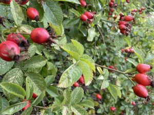 |
| Last time I was in the UK everywhere was looking arid and parched. Good to see everything much greener this time, after some recent heavy rain | I must take a look out for rosehips when i get back to ireland. Would like to have a go at making rosehip syrup. Supposedly rich in Vitamin c. |
 |
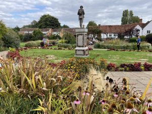 |
| Treated myself to a ciabatta sandwich. good, but obviously not as good as Val’s focaccia! | In the gardens of remembrance. Looking spectacular today |
 |
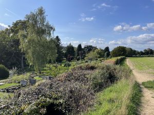 |
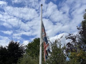
| Flag respectfully at half-mast today | The Misbourne was flowing again today. being a “bourne” on a chalk bedrock, it dries up from time to time in the drier months |
 |
|
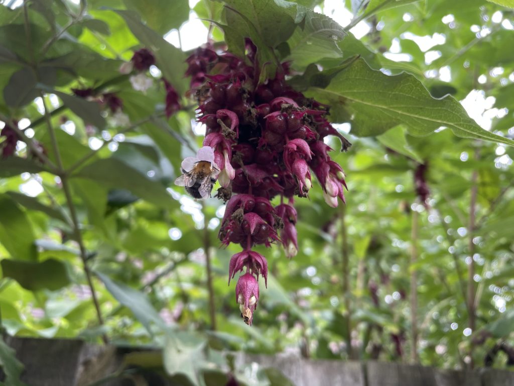
| Buzzy bee hard at work on a Himalayan Honeysuckle (Leycesteria formosa)in full bloom | |
Interactive map
(Elevations corrected at GPS Visualizer: Assign DEM elevation data to coordinates )
Max elevation: 166 m
Min elevation: 90 m
Total climbing: 90 m
Total descent: -92 m
Total time: 02:02:33
You can read earlier and later days’ blogs below
Previous day’s blog
Next day’s blog
Ireland home page
 Save as PDF