Ireland day 0428. Wednesday 30 November 2022- Antrim2203
| Today’s summary | Had a look at Carrick-a-Rede rope suspension bridge and Dunluce castle. Then drove on to Dunluce and back to Malahide via the Antrim Coast. Dinner at the Kathmandu Kitchen in the evening. Hopefully the bridge repair works at the station have finished now. | ||||
| Today’s weather | Overcast but dry and bright. Moderate southerly wind. About 8C most of the day (but milder in the evening) | ||||
 |
 |
||||
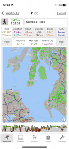
| Today’s overview location (The blue mark shows the location of our route) |
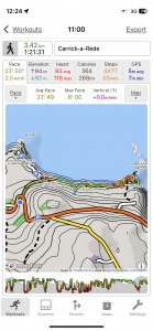
Close-up location (The green line shows where we walked) (Click button below to download GPX of today’s walk as recorded, or see interactive map at bottom with elevations corrected): Carrick-a-Rede |
||||
Commentary
(Summary blog only. Last full blog was Day 0368).
Our last day exploring Antrim.
Walked out to take a look at the Carrick-a-rede suspension bridge first thing – see captions below for details. Then drove west to Dunluce castle – spectacular and inspiration for the Moon Door in Game of Thrones apparently. Then down the coast to Cushendun (also NT) but the tea shop was sadly closed so we went on to nearby Cushendall where we found a café to get some soup.
Drove back to Malahide via the Causeway Coastal Route as far as Larne then a quick jaunt down the motorway. A very easy and enjoyable trip (under 3 hours each way).
Celebrated our return (and also hopefully the completion of the seemingly endless bridge works) with dinner at Kathmandu Kitchen
Today’s photos (click to enlarge)
 |
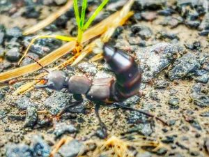 |
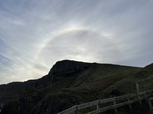
| A solar halo appeared as we were exploring Carrick-a-Rede. Quite rare. | Fearsome – but mostly harmless – Devil’s Coach-horse beetle. It’s relatively common on the coast around Antrim though I don’t think I’ve ever seen one before |
 |
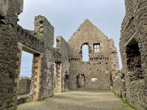 |
| Our next stop – Dunluce Castle | Duncluce castle main manor hall. Dates back to the early 16th century |
 |
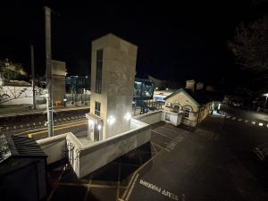 |
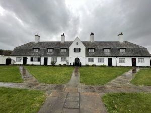
| Cushendun. A strange place, managed by the National Trust. Looks like it should belong in Cornwall or Hampstead – definitely not on the east coast of a remote part of Northern Ireland | I may be speaking too soon – but I THINK the railway bridge works might have finished while we were away. A miracle! And only 27 weeks of sleepless nights. |
 |
|
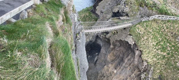
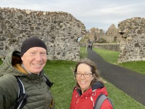
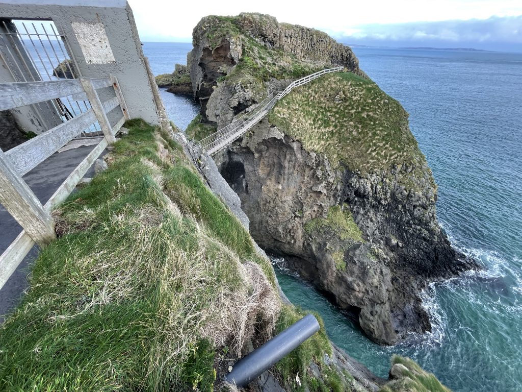
| The rope bridge. Closed at the moment for maintenance but spectacular views nevertheless. As a result of the closure, we had the whole of the Carrick-a-Rede coast to ourselves and it was lovely. Run by the NT. | |
Interactive map
(Elevations corrected at GPS Visualizer: Assign DEM elevation data to coordinates )
Max elevation: 84 m
Min elevation: 10 m
Total climbing: 429 m
Total descent: -429 m
Total time: 01:21:23
You can read earlier and later days’ blogs below
Previous day’s blog
Next day’s blog
Ireland home page
 Save as PDF