Ireland day 0195. Monday 11 April 2022- Testing
| Today’s summary | Walked out to the railway causeway to check my theory about falling tides in the lagoon. Then a bit of shopping while Val was at work | ||||
| Today’s weather | Cool and overcast. Light shower at lunchtime. Moderate easterly wind. About 11C | ||||
 |
 |
||||
| Today’s overview location (The blue mark shows the location of my route) |
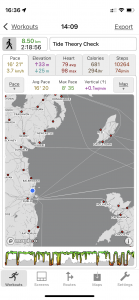
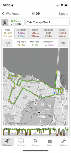
Close-up location (The green line shows where I walked) (Click button below to download GPX of today’s walk as recorded, or see interactive map at bottom with elevations corrected): Tide level test walk |
||||
Commentary
In Ireland, if someone tells you that you have been “giving out” about something, it means that you have been describing or complaining about something in great detail and probably also at excessive length. I suppose the UK equivalent would be to be “going on” about something. Looking back on a blog from a couple of days ago, I realise that I was guilty of “giving out” about tides in the Broadmeadow lagoon – probably describing in far more detail than anyone other than me could possibly be interested in, exactly how the tidal dynamics of the lagoon probably worked.
But in that last diatribe, in case you missed it, I did develop a theory that the water level in the lagoon upstream of the railway embankment would continue to fall (to a point), even if the tide was rising in the estuary downstream of the embankment. The good thing about this theory is that it makes a testable prediction. Namely that for a period after low tide in the open estuary, the water level downstream of the embankment would be below that in the upstream lagoon at the other side of the embankment. This being the case, then by definition, for a while water would continue to flow from lagoon to estuary, even if the tide was coming in. So all I had to do was to visit the embankment some time after low tide, to see if the outer level was below the upper.
With this in mind and with Val back at work, I set off do go down to the embankment, but not without first exploring an area of parkland around the Killeen estate, off the Yellow Walls Road. It was a pleasant new diversion and a useful addition to my library of walks in the Malahide area. I was feeling quite chipper this morning actually, as I slept really well last night and felt a lot better than I have for the last few days. Perhaps the post- Covid torpor is beginning to wear off at last.
I’m not sure if you are actually supposed to walk down the side of the embankment. The three metre iron bar fence at the point where you enter is a clue that perhaps you aren’t. But fortunately someone has handily removed one of the bars so you can squeeze through. I think the railway must turn a blind eye to people going in, as you often see people out walking their dogs along it.
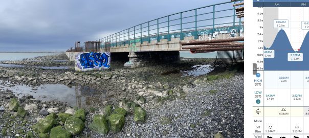
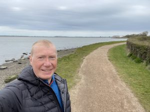
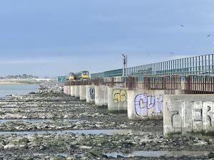
I got to the sluices at 15:46, and given that low tide was at 14:32, the tide would have been rising for the last 74 minutes (as you can see from the panorama photo in the banner image at the top of the blog). It was a bit hard to gauge the level of the water in the downstream estuary (which is on the right hand side of the photo, under the viaduct) but as far as I could tell, it was about 1 metre below that in the lagoon (to the left of the photo). So that means that water must, by definition, still be flowing out of the lagoon through the central sluices even though the tide in the estuary was rising. So the lagoon water level would still be falling even though the tide was coming in.
From looking at the sine-curve in the tide chart, and assuming that the water level in the lagoon falls quite a lot slower than the tide rises in the estuary, I’d estimate it would take another 2 hours or so before the outer and inner levels were the same, and the level in the estuary would start to rise once again. By the way, you can’t actually see the sluices, which are under the middle of the viaduct, from the end of the embankment where I was standing. That would be the final definitive proof that water was actually flowing out of the lagoon even as the tide was coming in. The only way to get there on foot is to clamber through the rocks under the viaduct but that seemed to be a bit hazardous and I didn’t want to push my luck too far. You can also see the sluice from the train, so the next time I am heading up to Drogheda or Donabate, I must remember to check the tide times and see what the actual water flow is doing.
So the net result of all this is that if I am going to circumnavigate the lagoon and keep dry feet, then I need to do so some 2-3 hours after low tide in the estuary at Malahide. (And by applying the same logic in reverse, I need to remember that the water level in the lagoon will continue to rise for several hours after high tide at Malahide).
Well that was enough physics for one afternoon. Once I’d finished my investigations, I continued on the coast road into town to pick up some essential shopping (crisps) and then back to the flat to contemplate my findings and plan the evening. My next job, of course, will be to find a favourable lunar alignment to complete the coastal navigation and put my theory to the ultimate test.
Today’s photos (click to enlarge)
 |
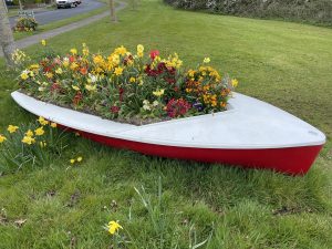 |
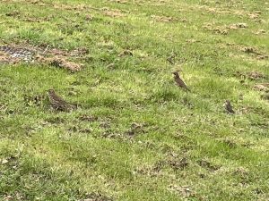
| Thrushes are relatively uncommon these days, so to see three together busily pecking away in the cut grass like this was something of a rarity | Aquatic-floral mash up at the entrance to Killeen Park |
 |
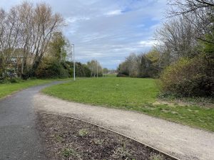 |
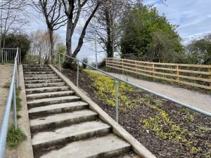
| I hadn’t been into Killeen Park before and the entrance approach is quite impressive | It’s a nice park – unspectacular but well kept |
 |
 |
| Down on the coast path. You can see that the tide is quite low already. I sat on a nearby bench and marked the level against a large stone that was exactly on the shoreline. As I watched and had my lunch, it fell at least another 2 or 3 cm | Northbound and southbound trains passing on the Broadmeadow viaduct above the embankment |
 |
|
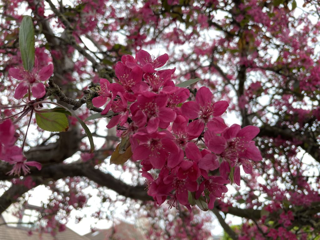
| Usually cherry trees don’t have much perfume, but this one, in the Yellow Walls Road, smelled beautiful | |
Interactive map
(Elevations corrected at GPS Visualizer: Assign DEM elevation data to coordinates )
Max elevation: 16 m
Min elevation: -1 m
Total climbing: 112 m
Total descent: -112 m
Total time: 02:18:52
You can read earlier and later days’ blogs below
Previous day’s blog
Next day’s blog
Ireland home page
 Save as PDF