Ireland day 0117. Sunday 23 January 2022- NewbridgeDWC
| Today’s summary | A short afternoon stroll round the Newbridge demesne with the DWC including an detour to the coast at Broadmeadow lagoon. Very easy and perfect for a Sunday afternoon | ||||
| Today’s weather | Dry and bright but no sun. No wind. About 7C | ||||
 |
 |
||||
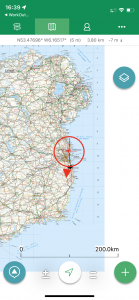
| Today’s overview location (the red cross in a circle shows where Val and I are at the moment) |
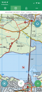
Close-up location (Click button below to download GPX of today’s walk as recorded, or see interactive map at bottom with elevations corrected): Newbridge DWC |
||||
Commentary
Today came as a bit of a welcome break after our recent bout of recent frenetic rushing around, exploring and filling our minds with gigabytes of new knowledge. All that was on the agenda today was a short stroll around the Newbridge estate with the Dublin Walking Club. A perfect way to spend a Sunday afternoon.
I think I’ve successfully run through the checklist of jobs that Val left for me for completion before she returns from her short visit to the UK, so I treated myself to a bit of a lie-in and a cup of tea in bed this morning. A late breakfast morphed into an extended and early lunch and then eventually, at about 11:30, I dragged myself away from the temptations of an afternoon reading my book, and headed down to the railway station for the 4-minute ride over the causeway to Donabate. Having visited Newbridge fairly recently with Val, no map-reading was needed to find the way from Donabate station to the meeting point outside the Newbridge House, and I was there in under 15 minutes.
The walk was considerably less stretching than yesterday’s and there is actually relatively little to report back this time. We headed out of the grounds and across the Donabate roads to the byway which leads down to the north shore of the Broadmeadow lagoon. There are in fact two “Donabate roads”. There is the original old one (which actually still seems quite busy) and a new “Distributor road”. The new one was only opened in March 2020 and seems to be so new it’s not shown on google earth. It’s a bit of a curiosity, as it’s beautifully engineered, and has fantastic cycle lanes on either side, but seems to connect nowhere in particular to nowhere else in particular.
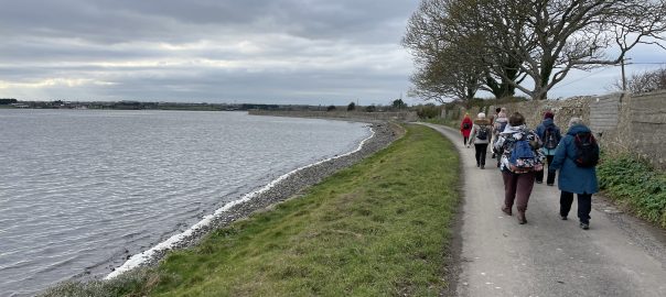
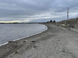
Safely across the roads, we walked down to the north shore Broadmeadow lagoon. This is the site of my various expeditions to locate the submerged road and today – as with previous visits – it was well hidden below the waves. We paused briefly on the shoreline, then retraced our steps back to Newbridge. After a brief look around and a detour to inspect the stags strutting around in an enclosure near the entrance, the group split up and I made my way back to the station for the trip back home.
It was a relaxing, albeit brief, outing and aside from the company, which I always enjoy, one of the most memorable aspects was the sense that Spring was in the offing. It’s not anything you can see or hear, but it must be something less tangible – perhaps a combination of the brighter daylight now the solstice is a month passed, or perhaps the smell of vegetation stirring from its winter slumber. But anyway, the miasma of optimism was definitely there, and even if there is still cold weather to come, it was a nice reminder that it won’t be too long until the warmer months are with us once again.
Today’s photos (click to enlarge)
 |
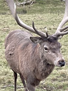 |
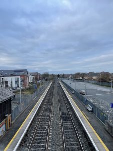
| The track from Malahide to Donabate is dead straight and the straight section continues north of Donabate and south of Malahide. It is 8km / 5mi in total | We’ve met him before – lurking in a field on the way into Newbridge. He seems to have a voracious appetite for carrots |
 |
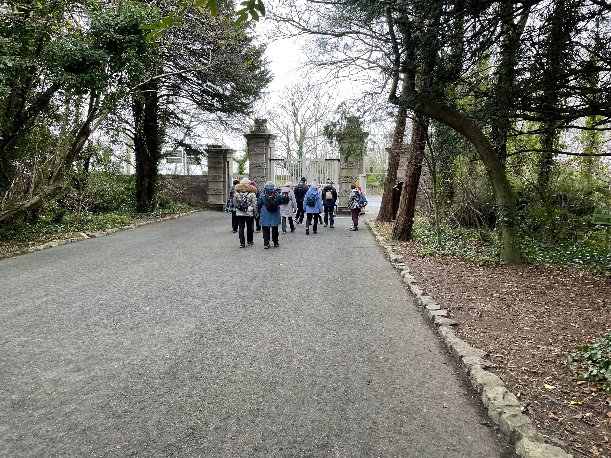 |
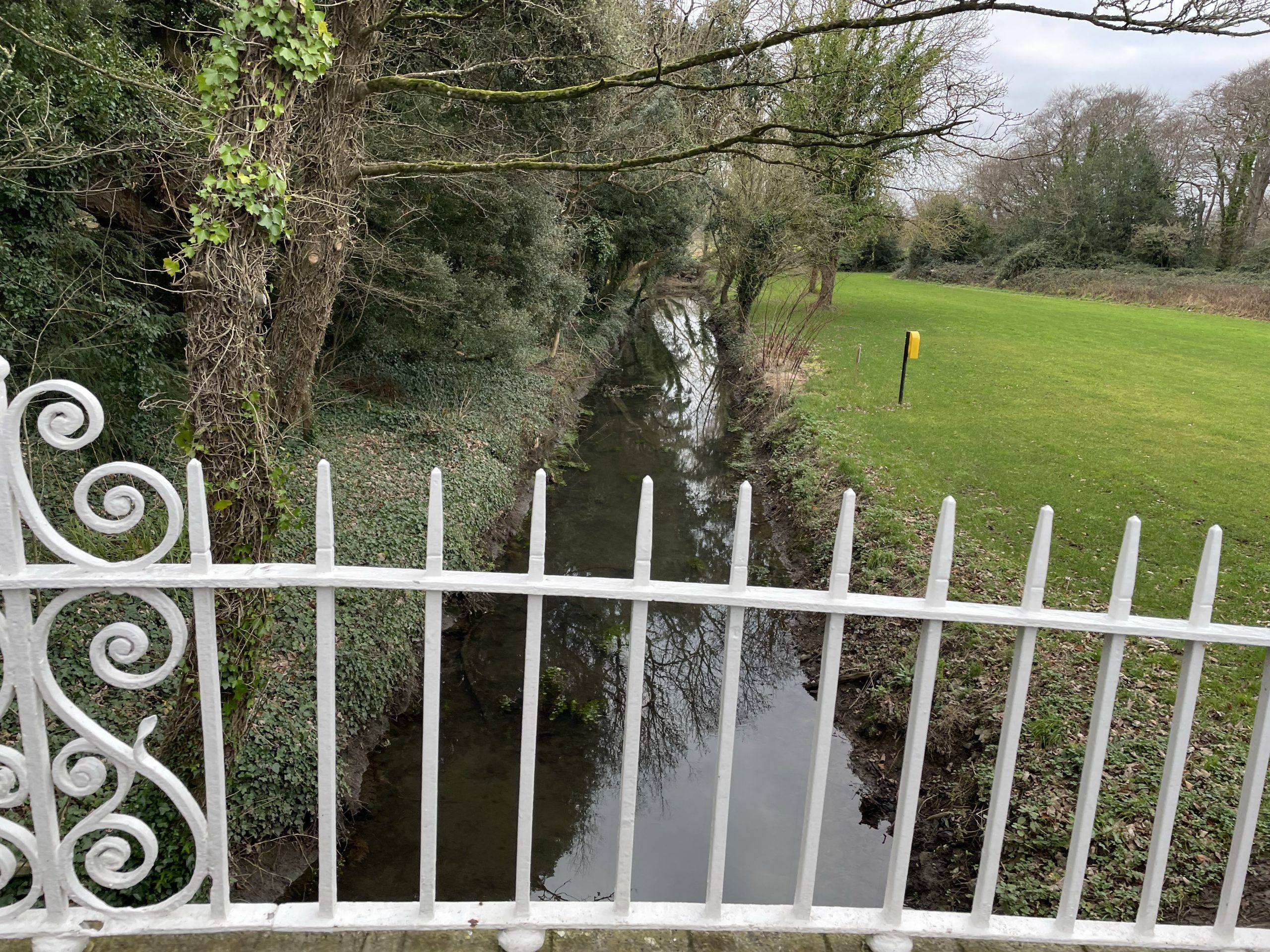
| Ha-Has and ditches / moats like this one abound in the parkland surrounding Newbridge House | Exiting the grounds to take the cul-de-sac road down to the beach |
 |
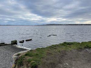 |
| On the much-frequented (by me) north shore of the Broadmeadow lagoon. The tide was in so there was of course no hope of the submerged road reappearing | Looking east – the black line etched on the horizon is the railway embankment linking Malahide to Donabate |
 |
|
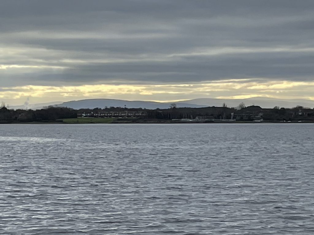
| Looking across the lagoon to the Dublin mountains. | |
Interactive map
(Elevations corrected at GPS Visualizer: Assign DEM elevation data to coordinates )
Max elevation: 19 m
Min elevation: 0 m
Total climbing: 90 m
Total descent: -88 m
Total time: 02:22:28
You can read earlier and later days’ blogs below
Previous day’s blog
Next day’s blog
Ireland home page
 Save as PDF