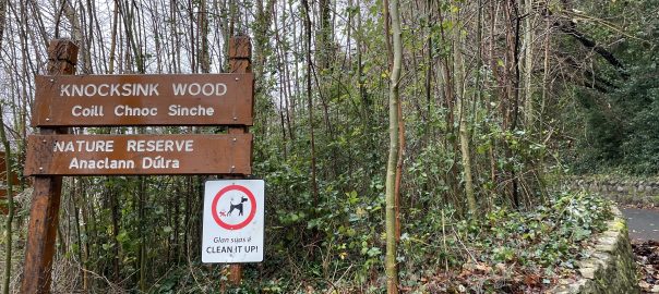
Ireland day 0446. Sunday 18 December 2022- Knocksink
| Today’s summary | Val was at work in the evening and I went down to Enniskerry for a walk in Knocksink woods with the walking club. An enjoyable day out despite the gloomy damp weather | ||||
| Today’s weather | Grey, drizzly and overcast. No sun. Strong to gale force south westerly wind in the morning, moderating a bit later. feeling very mild at 9C | ||||
 |
 |
||||
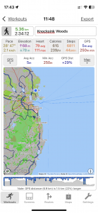
| Today’s overview location (The blue mark shows the location of our route) |
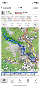
Close-up location (The green line shows where we walked) (Click button below to download GPX of today’s walk as recorded, or see interactive map at bottom with elevations corrected): Knocksink woods from Enniskerry |
||||
Commentary
(Summary blog only. Last full blog was Day 0368).
Val was working in the evening so decided to have a day in the flat while I joined the Walking Club for a short outing from Enniskerry round the Knocksink woods. Collected a couple of friends from the Portmarnock area on the way, then lift shared to Enniskerry.
Started as usual with refreshments in the Kingfisher café but today it was nice to be able to walk straight out of the café and start the walk, instead of having to drive on elsewhere. It was much milder today than most of the last 10 days – plus 9 versus minus 2 yesterday. So the weather was grey and drizzly but the walk was enjoyable nevertheless – if nothing else it was good to catch up with everyone before the Christmas break.
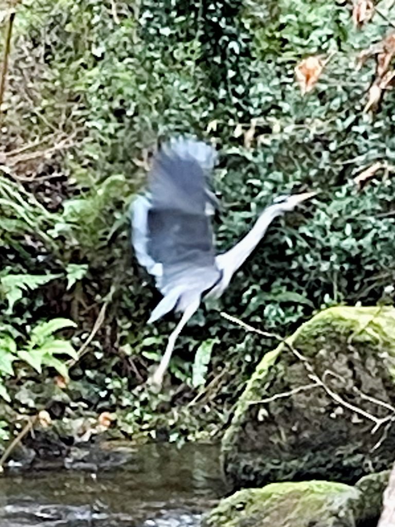
But there was lots to be seen on the route – including a couple of statuesque herons which gracefully took to the air as we approached. Just time for another cup of tea at the end before jumping in the car and heading back to a grey and gloomy Dublin.
A very enjoyable day out, despite the slightly less than perfect weather.
Today’s photos (click to enlarge)
 |
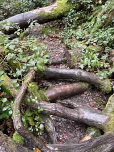 |
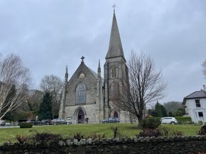
| Enniskerry (Catholic) church | Path was blocked by fallen trees – fortunately we managed to find an alternative route which bypassed them |
 |
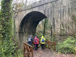 |
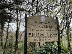
| Second part of the walk – through the bog meadow | The bridge carrying the R117 road from Enniskerry to Dundrum is massive – the photo doesn’t really do it justice. It looks very much like a railway bridge, even though it isn’t. (Though we did learn from a local historian that a railway line was built from Bray to Enniskerry in the early 1900s – and even got as far as having tracks laid. But the sponsors ran out of money so it was never actually opened. You can see some relics of it alongside the R117 road where it runs up the Glencullen valley from the N11 main road. |
 |
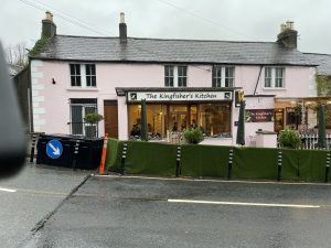 |
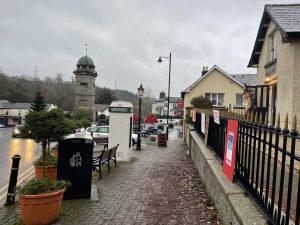
| Downtown Enniskerry | Kingfisher’s Kitchen – one of my favourite cafés. Does excellent scones. |
 |
|
| Like a pterodactyl – heron taking to the air as we approached | |
Interactive map
(Elevations corrected at GPS Visualizer: Assign DEM elevation data to coordinates )
Max elevation: 119 m
Min elevation: 63 m
Total climbing: 192 m
Total descent: -196 m
Total time: 02:34:01
You can read earlier and later days’ blogs below
Previous day’s blog
Next day’s blog
Ireland home page
 Save as PDF