PW day 04: Thu 25 Feb 2016; Hebden Bridge to Ponden
| Walk descriptor | Pennine Way | Day | 04 | ||
| Date | Thu 25 Feb 2016 | Start to end time | 07h 07m | ||
| Start point | Hebden Bridge | End point | Ponden | ||
| Miles today | 12.60 | Cu miles | 65.48 | ||
| Ft today | 2,777 | Cu ft | 11,697 | ||
| Route miles left | 217.11 | Route ft left | 32,086 | ||
| Today’s weather | Mostly sunny in the morning, though more cloudy in the afternoon. Dry all day. Very light north westerly breeze. About 2C | ||||
 |
 |
||||
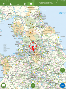
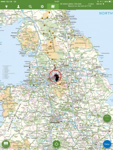
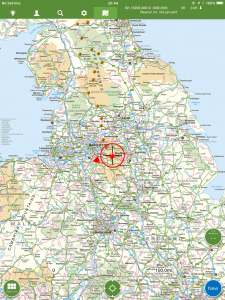
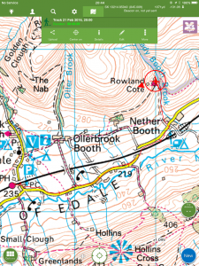
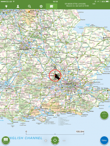
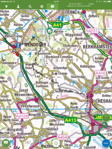
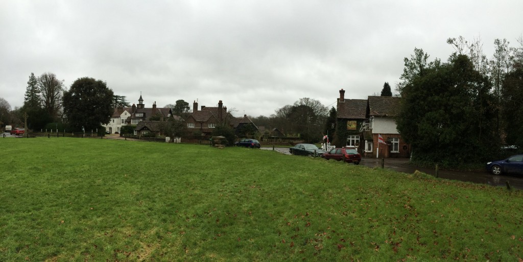
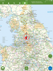
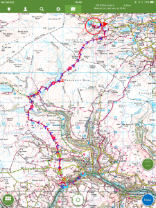
| Today’s location (the red cross in a circle shows where I am at the moment) |
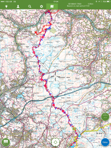
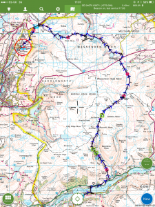
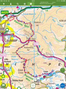
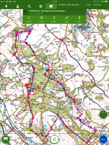
GPX based track of today’s walk (click button to download file) GPX |
||||
Commentary
Well, my charmed existence continues
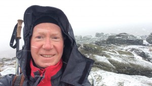
Yes, I enjoyed my fourth consecutive sunny, rain-free day today, which is probably a record for the Pennine Way. I daren’t even look at the weather forecast. Sometimes it’s just better not to know.
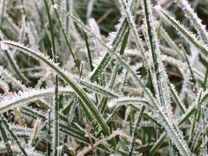
So it was some difficulty that I forced myself to stay in bed for an extra hour this morning, in anticipation of a short – 13 mile – walk over the hill to Ponden. I lay in bed looking out of the window at the brilliant sun, clear sky and sparking frost and to my amazement I actually found I wanted to get up early and get going. This is the first time this has ever happened to me.
But I didn’t want to get away too soon, as I was reluctant to arrive at my next night’s B&B before they would be ready for me. Also, on a more practical note, an old (only in the sense of a long friendship, not age, of course) school-friend, Sarah, was joining me for the day’s walk, so I needed to await the arrival of her early train from Leeds.
Once I’d had breakfast (a salmon bagel which was much more in the Hebden vein than – and a welcome change from – bacon and eggs), and the travelling party assembled, we set off up the steep hillside towards Ponden. It was great to have company and there was lots of news to be caught up on, and medical ailments to be compared (not really, but I think that is the sort of thing you are supposed to talk about when you are “retired”).
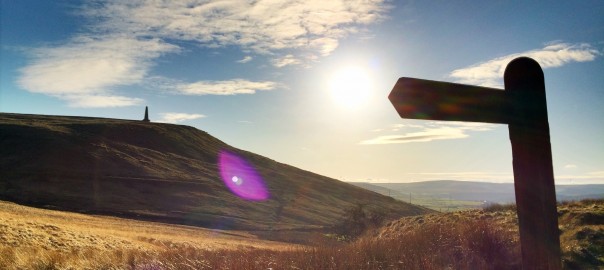
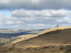
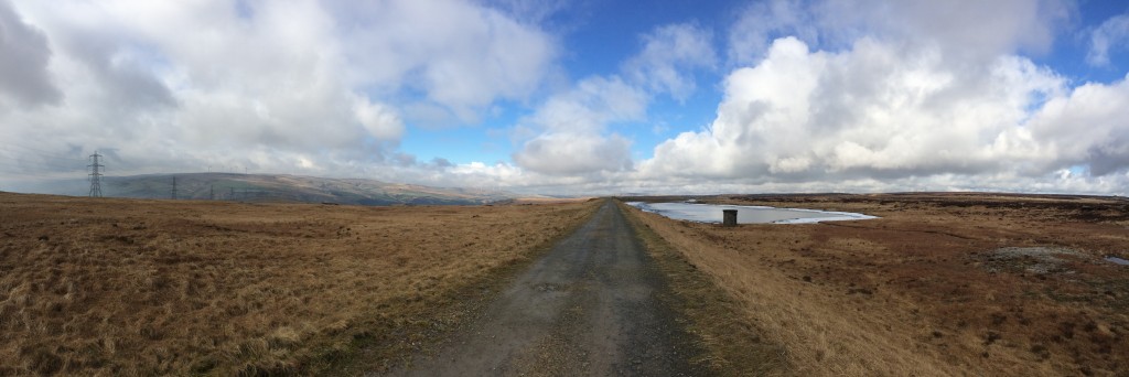
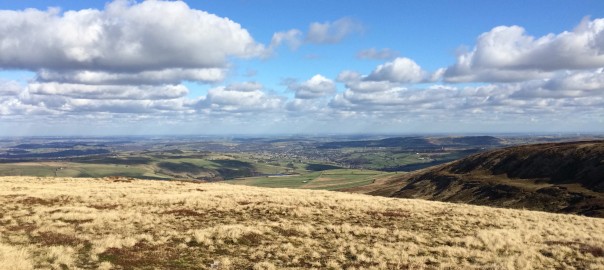
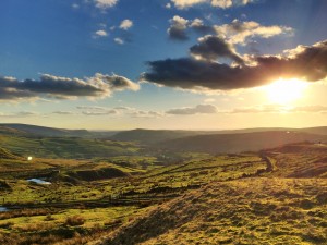
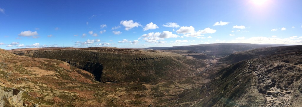
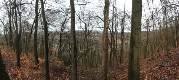
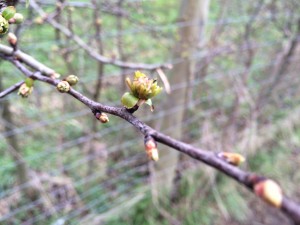
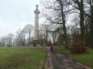
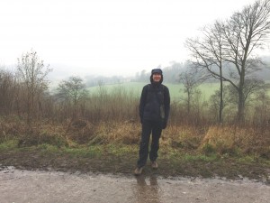
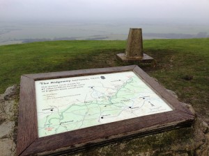
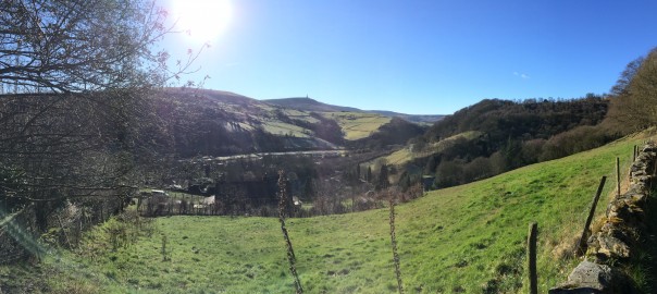
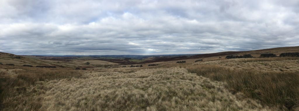
So the miles passed easily, and once again, the views were spectacular. Although we lost the sun around lunchtime, it remained clear and dry all day, affording 360 degree panoramas which are supposed stretch as far as York, at least 60 miles away. And closer at hand, there was plenty of interest as well.
The climb out of the Calder Valley was steep, but the tantalising prospect of the sunlit uplands on the slope above beckoned us out of the shady and cold valley and we quickly made our way up the network of paths to the top. Looking back the views, once again, were stunning, with Stoodley Pike and melancholy Mankinholes clearly standing out on the other side of the valley.
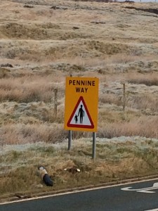
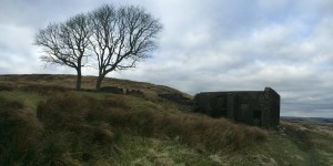
Towards the end of the day, we came to Top Withens farm – now a ruin but inhabited until the 1920s. It’s a desolate spot, supposedly the inspiration for “Wuthering Heights” in the Bronte novel of the same name. It’s a bit of a pilgrimage destination for many visitors to the area – many of whom are apparently Japanese. In fact, we did spot some of the familiar “Pennine Way” signs which were actually written in Japanese script. Quite bizarre in this remote spot.
Sarah left that point and headed to Haworth to catch a bus home, and I hiked on to complete the last couple of miles of the day’s walk
Tonight I’m staying in a B&B at Ponden Hall, which is both interesting and steeped in Bronte history. I feel a bit of a Heathcliffe here as I write this blog, gazing out of the window at the brilliant clear– and bitter cold – night outside. “Out on the wiley, windy moors” as Kate Bush would have said. I can almost hear Cathy banging at the window.
Today’s photos (click to enlarge)
 |
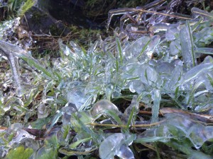 |
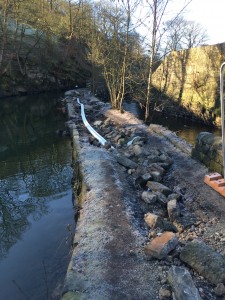
| Towpath in Hebden Bridge partly washed away by the winter floods. I boldly strode across it and managed not to fall and cause an HSE crisis | Icy start to the morning |
 |
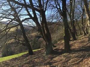 |
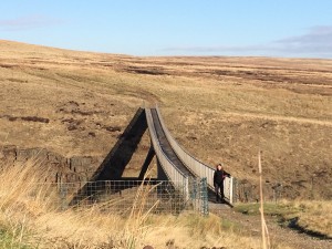
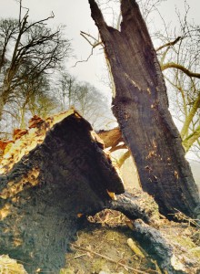
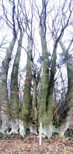
| Fortunately the Pennine Way passes to the left hand side… | In the woods heading up the steep northern side of the Calder Valley to Pry Hill |
 |
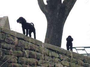 |
| Top Withens, aka Wuthering Heights | Bronte-esque hounds patrolling from the heights. Actually they were a couple of poodles but they still looked Baskerville-like (or am I mixing my authors?) |
 |
|
| Huge panoramas into infinity (well York) from Wadsworth moor | |
The previous day’s blog follows below the blue line
 Save as PDF