Ireland day 0586. Sunday 07 May 2023- Carlingford Circuit
| Today’s summary | Walking Club trip to the Cooleys. Managed to hike to the top of Barnavave – first real hill since the hip operation. Felt great | ||||
| Today’s weather | Dry and bright with plenty of sun. A little more hazy cloud and sea mist at lower altitudes later on. Light southerly wind. Appx 16C | ||||
 |
 |
||||
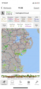
| Today’s overview location (The blue mark shows the location of our route) |
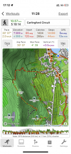
Close-up location (The blue line shows where we walked) (Click button below to download GPX of today’s walk as recorded, or see interactive map at bottom with elevations corrected): Carlingford Circuit DWC |
||||
Commentary
(Summary blog only. Last full blog was Day 0368).
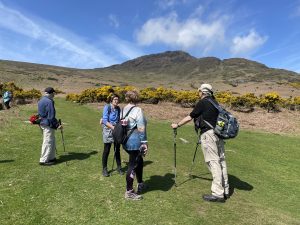
Val was out at work so I was despatched off on my own to join the Dublin Walking Club up in the Cooleys for a good hike in the hills. I got a lift with a friend, which saved on petrol (and saved me having to drive up the M1) and we soon sped up the M1 and were up in Carlingford in not much more than an hour.
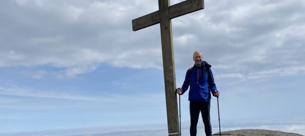
It wasn’t a very fast or a very long walk, but it was my first “proper” hillwalk since my hip resurfacing, and it worked perfectly. I actually managed to get up to the cross on the top of Barnavane, which was a real achievement, and very satisfying. I had almost no pain in my hip, and I actually felt pretty robust.
It was a perfect, short, circular walk, ascending from Carlingford via the Tain Way, up over Barnavane, and then back down via the “famine” village. Quite aside from the joy a pain-free hip, it was a delight to be out on a day when the weather was reasonably warm, when it wasn’t raining, and when the wind wasn’t blowing a gale. At the end, we dropped in to the Four Seasons Hotel where, I am almost ashamed to admit, I succumbed to the temptations of coffee and a scone. Still, I felt it was well deserved.
Now it’s time to cook dinner (pork shops, potatoes, carrots and peas) and, by way of a bit of change, I think we will have a refreshing glass of cider to wash it down. Another great day.
Today’s photos (click to enlarge)
 |
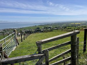 |
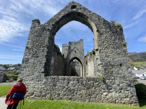
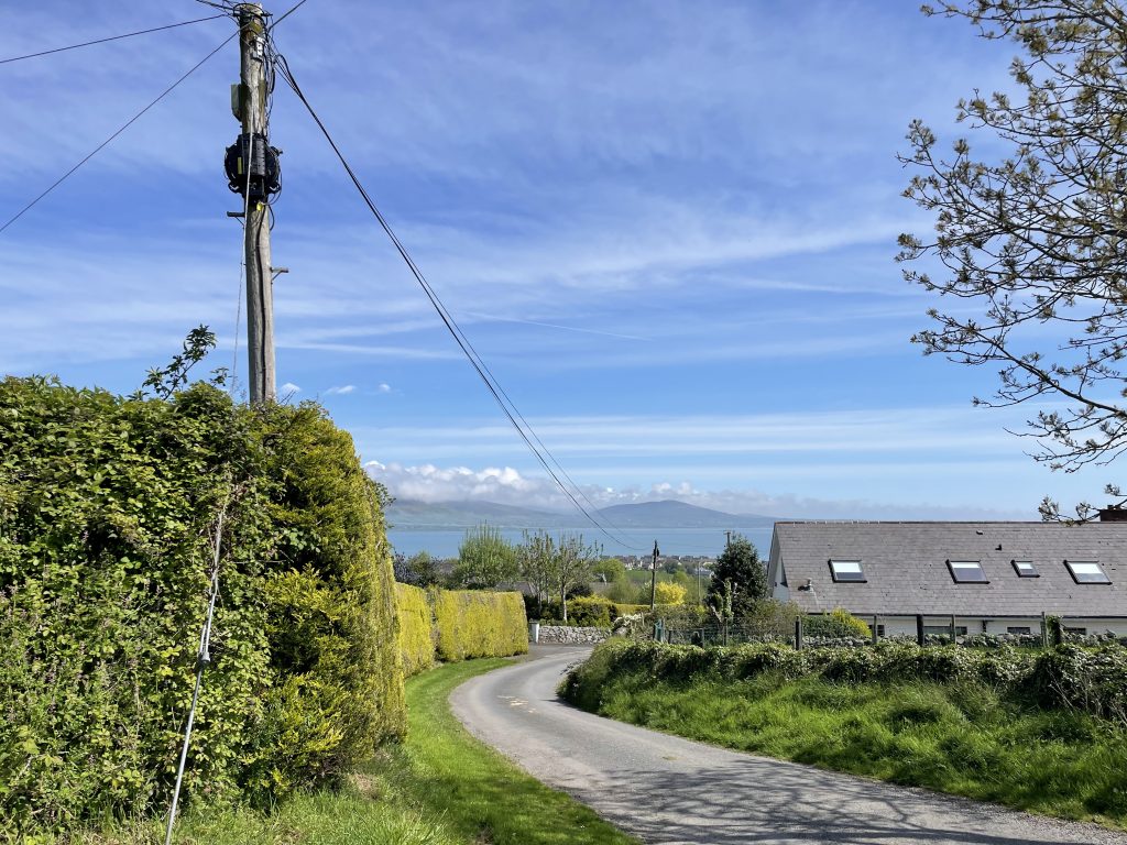
| The ruins of Carlingford priory this morning | Looking back from the slopes, towards Greenore and Carlingford Lough. Northern Ireland is on the other side of the lough |
 |
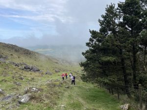 |
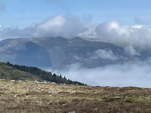
| Looking over the fells towards Slieve Martin | Heading down the gulley from the top of Barnavave. It’s relatively steep and there’s a vicious barbed wire fence just waiting to rip the fingers of unwary walkers who think it’s a good hand-rail |
 |
 |
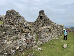
| At the deserted “famine” village on the slopes of Barnavave above Carlingford Lough | On the lopes, with Slieve Foy, the highest point in the Cooleys, on the horizon |
 |
|
| Leaving the road on the way up out of Carlingford | |
Interactive map
(Elevations corrected at GPS Visualizer: Assign DEM elevation data to coordinates )
Max elevation: 339 m
Min elevation: 1 m
Total climbing: 426 m
Total descent: -426 m
Total time: 05:18:02
You can read earlier and later days’ blogs below
Previous day’s blog
Next day’s blog
Ireland home page
 Save as PDF