Ireland day 1185. Thursday 26 December 2024- Xmas Mayo 6
| Today’s summary | After a full Irish breakfast we drove a couple of km down the road to the start of the Croagh Patrick path. We set off on the climb at about 11:15 and completed it (and back) in about 3½ hr, a good 30 mins quicker than last year. Quite a few people about today. Misty on the top but no rain and very little wind. Walked out to Bertra beach afterwards. Ham in cola for dinner. | ||||
| Today’s weather | Mild dry and bright. Very light southerly wind. Appx 10c | ||||
 |
 |
||||
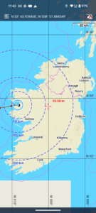
| Today’s overview location (The blue mark shows the location of our route) |
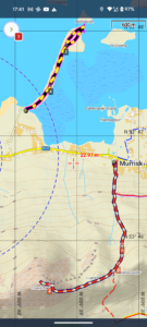
Close-up location (The dashed lines show where we walked) (Click buttons below to download GPXs of today’s walks as recorded, or see interactive map of Croagh Patrick walk at bottom with elevations corrected): Croagh Patrick with family Bertra beach |
||||
Commentary
After yesterday’s Christmas swim and sauna excitements it was always going to be difficult to do better today – but we had a good try.
The day started with an energy-dense full Irish breakfast, which set us up well for our day’s activities.
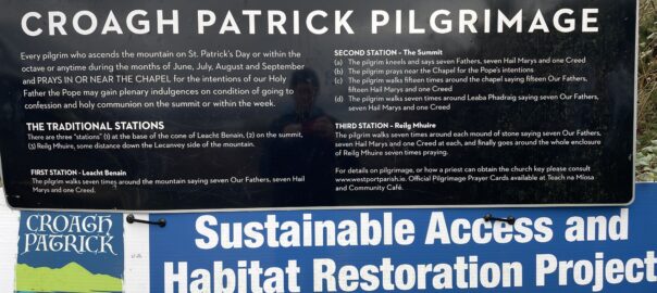
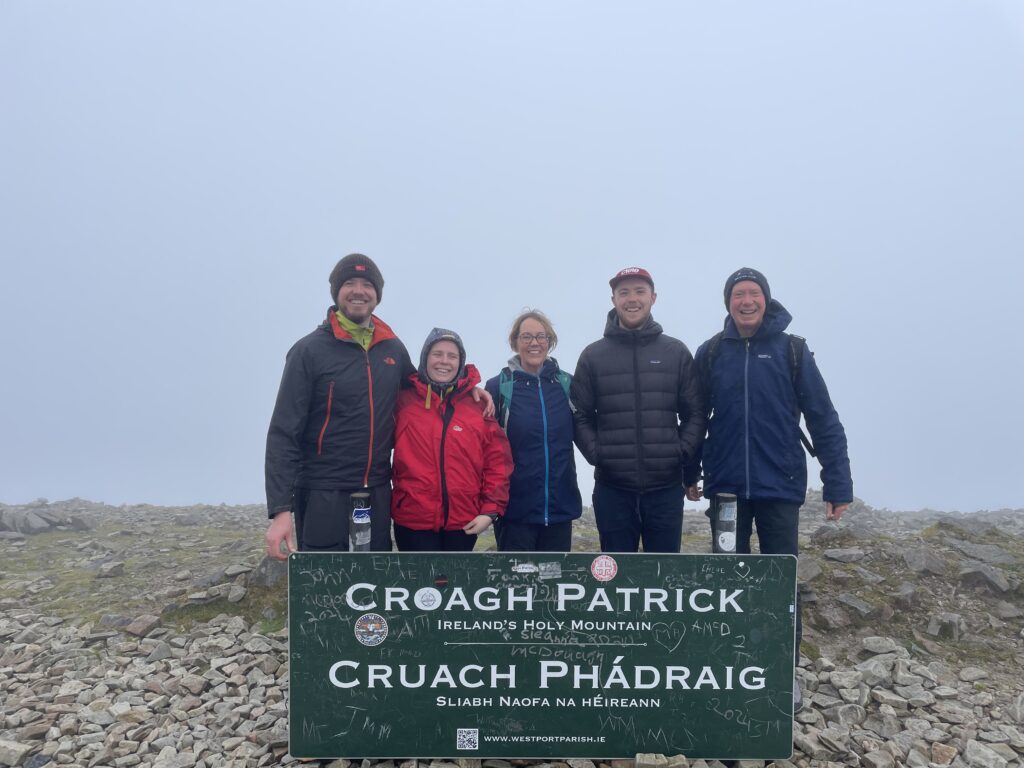
Once we had eaten, we drove a couple of km back towards Westport, to the car park at Murrisk, ready to make the Croagh Patrick ascent. We eventually set off on the climb at about 11:15 am.
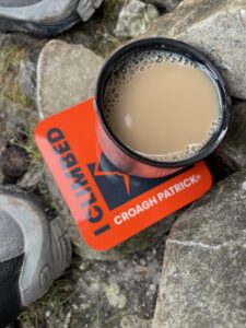
There were quite a few people about today – certainly a lot more than we did this same walk on Christmas Day last year. The weather was better this year, too, with much less wind and milder temperatures. We were up – and back down again – in next to no time, it seemed. There were no views from the top, so we didn’t linger, but paused halfway back down for coffee and an energy bar overlooking the magnificent islands of Clew Bay.
We made it back to the car again in about 3½ hr, which was pleasingly a full half hour quicker than last year.
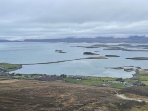
We weren’t content with just one walk today, so immediately we had got back in the car, we drove about 1km down to the coast at Berta Beach. This is a curious periglacial feature, the remains of an eroding partially submerged drumlin. The thin tombolo connecting the drumlin to the mainland is slowly being consumed by a rising sea – Darragh did quite quite a lot of damage a few weeks ago – and it probably won’t be long before it disappears completely.
By the time we finished our walk, it was almost dark so we drove back to the cottage, got changed and put the dinner on (thanks Val!). Then the younger contingent popped round to Staunton’s for a “quick”(!) pint. It’s ham in cola for dinner tonight – a family favourite – and it already smells delicious.
Another very good day.
Today’s photos (click to enlarge)
 |
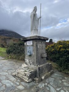 |
| I’m amazed at just how unpopular greenways (a type of cycle-able long distance path) are in Ireland. Back in the UK, they are largely successful and popular, and bring large amounts of money into rural communities. A sign of just how different our societies really are | St Paddy was there to see us on our way |
 |
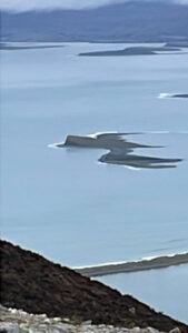 |
| Brilliant gifts were awarded by James and Katie at our coffee-break halfway down! | Semi-submerged drumlin in Clew Bay, looking suspiciously like the “Spectre” logo from James Bond |
 |
 |
| The long thin “tombolo” in the middle distance is Bertra Beach and it connects the drumlin-island of Bartraw to the mainland | On the Bartraw “island”. The calm water behind the tombolo was ideal for skimming stones |
 |
|
| On the top looking super excited | |
Interactive map
(Elevations corrected at GPS Visualizer: Assign DEM elevation data to coordinates )
Max elevation: 751 m
Min elevation: 19 m
Total climbing: 813 m
Total descent: -813 m
Total time: 03:38:57
You can read earlier and later days’ blogs below
Previous day’s blog
Next day’s blog
Ireland home page
 Save as PDF