Ireland day 0501. Saturday 11 February 2023- Broadmeadow again
| Today’s summary | Val was at work again so I took advantage of the phase of the moon to walk round the Broadmeadow lagoon to Newbridge whilst keeping dry feet. Spent the evening reviewing the beer bread I made yesterday and concluded it was OK but nothing special | ||||
| Today’s weather | A nice spring-like day – overcast but bright with high cloud and no rain. Hardly any wind. Appx 10C | ||||
 |
 |
||||
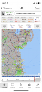
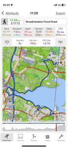
| Today’s overview location (The blue mark shows the location of my route) |
Close-up location (The blue line shows where I walked) (Click button below to download GPX of today’s walk as recorded, or see interactive map at bottom with elevations corrected): Broadmeadow Flood Road |
||||
Commentary
(Summary blog only. Last full blog was Day 0368).
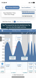
Val was at work (she’s doing 5 days in a row at the museum at the moment). So once packed lunches were made, Val was despatched and I’d done some Spanish homework, I decided to try another walk round the Broadmeadow lagoon. It’s one of my favourite excursions and the tide chart showed that we are in the midst of a series of neap tides at the moment and that if I left about 11 am, I’d get to the section which is normally flooded about 2 hours after low tide in the outer lagoon.
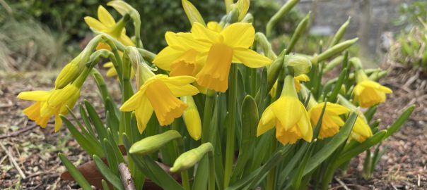
This seems to be the most propitious time for getting round with dry feet and indeed that was the case today, so I made it right round to Donabate without having to paddle. Lots of spring flowers bursting into life making the walk quite colourful in places. Once round the lagoon, I walked on into Newbridge for a sandwich lunch then headed on to Donabate to catch the train back to Malahide. There was just time to get a coffee and cake (!) from the station café, which rounded off the outing perfectly.
(By the way the bread I made yesterday was “ok” but not outstanding. There was absolutely no flavour from the beer so there was no advantage in using it rather than water. Also the bread was a bit dry and floury. But OK for sandwiches and toasted with marmalade)
Today’s photos (click to enlarge)
 |
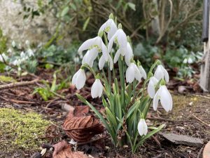 |
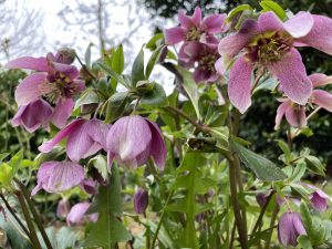
| Hellebores – they seem to thrive round Malahide | Snowdrops just passing their best now. But still looking attractive |
 |
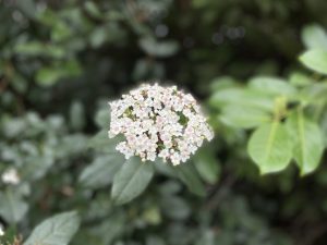 |
| Primula at the bottom of Yellow Walls Road | Viburnum of some sort, on Kilcrea road |
 |
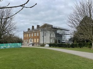 |
| Today’s tide cycle. The previous high tide was relatively low, which seems to create the best chance of the Flood Road being passable | Newbridge House – an elegant spot, currently seemingly undergoing some fairly major renovations. |
 |
|
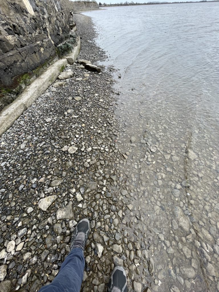
| Indeed, the Flood Road was more or less passable for most of its length (and where it wasn’t, there is a path on the embankment above it that you can use to stay dry) | |
Interactive map
(Elevations corrected at GPS Visualizer: Assign DEM elevation data to coordinates )
Max elevation: 19 m
Min elevation: -4 m
Total climbing: 198 m
Total descent: -198 m
Total time: 03:10:45
You can read earlier and later days’ blogs below
Previous day’s blog
Next day’s blog
Ireland home page
 Save as PDF