Ireland day 0487. Saturday 28 January 2023- Ardgillan Circuit
| Today’s summary | Val had a day off work so together we drove up to Ardgillan and had a walk round the demesne. Dipped our toes in the sea and in the evening watched “Bank of Dave” on Netflix | ||||
| Today’s weather | Dully and grey, heavily overcast all day, with occasional drizzle. hardly any wind. Appx 7C | ||||
 |
 |
||||
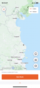
| Today’s overview location (The black and which chequer mark shows the location of our route) |
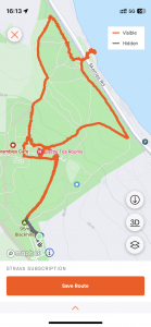
Close-up location (The orange line shows where we walked) (Click button below to download GPX of today’s walk as recorded, or see interactive map at bottom with elevations corrected): Ardgillan 3 |
||||
Commentary
(Summary blog only. Last full blog was Day 0368).
Val had her second (of three) day off work today and we had nothing planned, so we decided to make a short trip up the coast to have lunch and a wander round the Ardgillan estate.
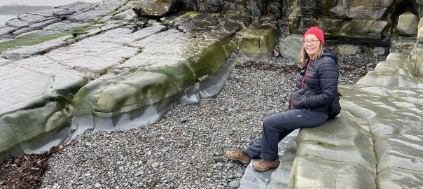
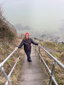
The house was undergoing repairs today, and the weather was a bit dull, but the gardens were great, and the café (thank goodness) was open. We also crossed the bridge over the railway and road, and went down the Ladies’ Stairs to dip our toes in the water at the bathing cove.
We rounded off the leisurely day by watching “Bank of Dave” – an enjoyable film doing the rounds of Netflix at the moment.
Today’s photos (click to enlarge)
 |
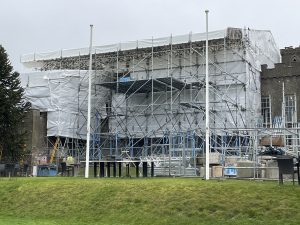 |
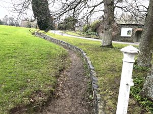
| The ha-ha just in front of the house | The house wasn’t looking its loveliest today, as it’s midway through a project to repair the roof, walls and windows. I.e. pretty much everything |
 |
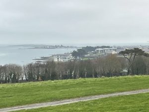 |
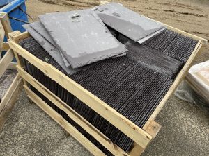
| What appeared to be genuine slate, for the major re-roofing project | Skerries with Red Island (Skerries’ headland) and St Patrick’s Island beyond |
 |
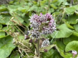 |
| Val on her way down the Ladies’ Stairs to Ardgillan’s small swimming cove (you can see the cove itself in the featured image at the top of the blog) | It’s that heliotrope again. Must be January |
 |
|
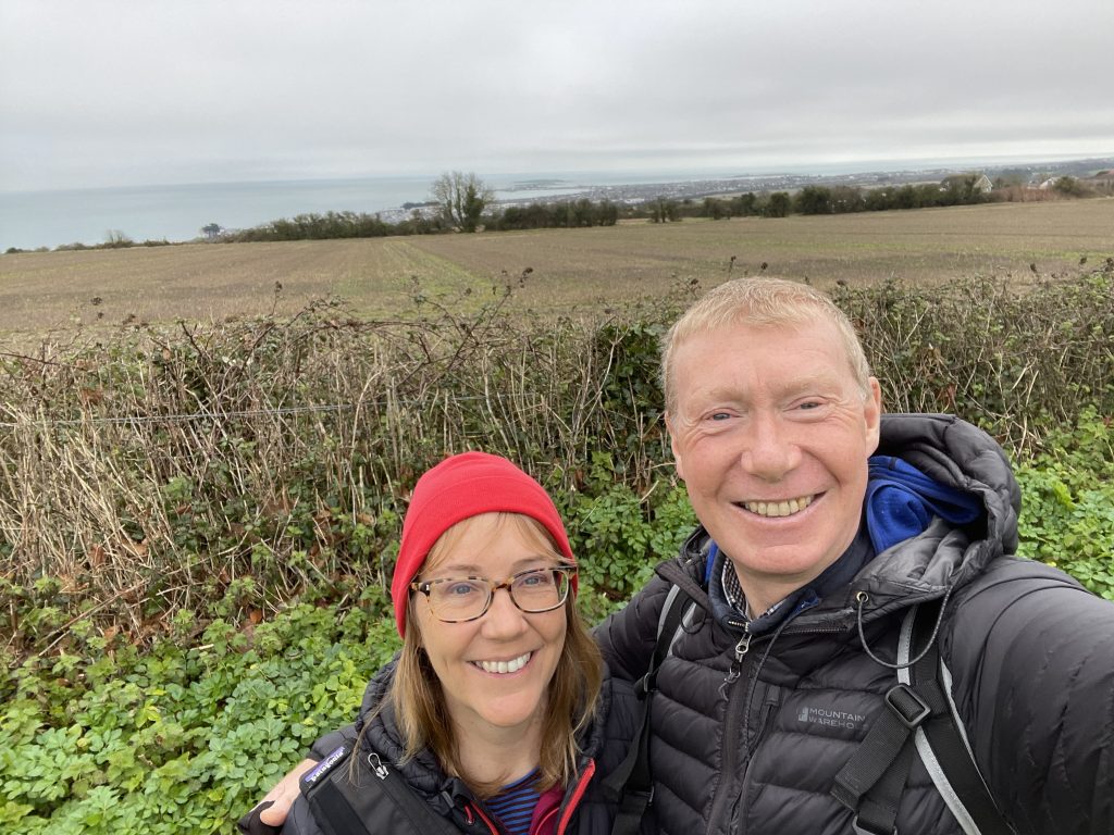
| Here we are, in the car park, with Skerries beyond | |
Interactive map
(Elevations corrected at GPS Visualizer: Assign DEM elevation data to coordinates )
Max elevation: 96 m
Min elevation: 6 m
Total climbing: 133 m
Total descent: -133 m
Total time: 02:31:09
You can read earlier and later days’ blogs below
Previous day’s blog
Next day’s blog
Ireland home page
 Save as PDF