Ireland day 1181. Sunday 22 December 2024- Xmas Mayo 2
| Today’s summary | Went to Achill Island to walk to the top of Minaun from the road-end then down to Keel Beach for a swim (only one of us!). Finished off with a visit to the Achill distillery | ||||
| Today’s weather | Stormy with occasional icy downpours but occasional sun. Severe gale to storm force westerly wind. Appx 7c | ||||
 |
 |
||||
| Today’s overview location (The blue mark shows the location of our routes) |
Close-up location (The red lines shows where we walked) (Click buttons below to download GPX of today’s walks as recorded, or see interactive map at bottom with elevations corrected): Minaun Keel beach |
||||
Commentary
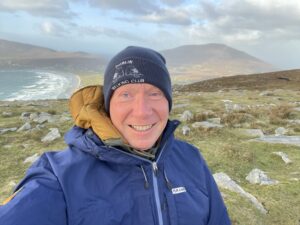
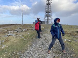
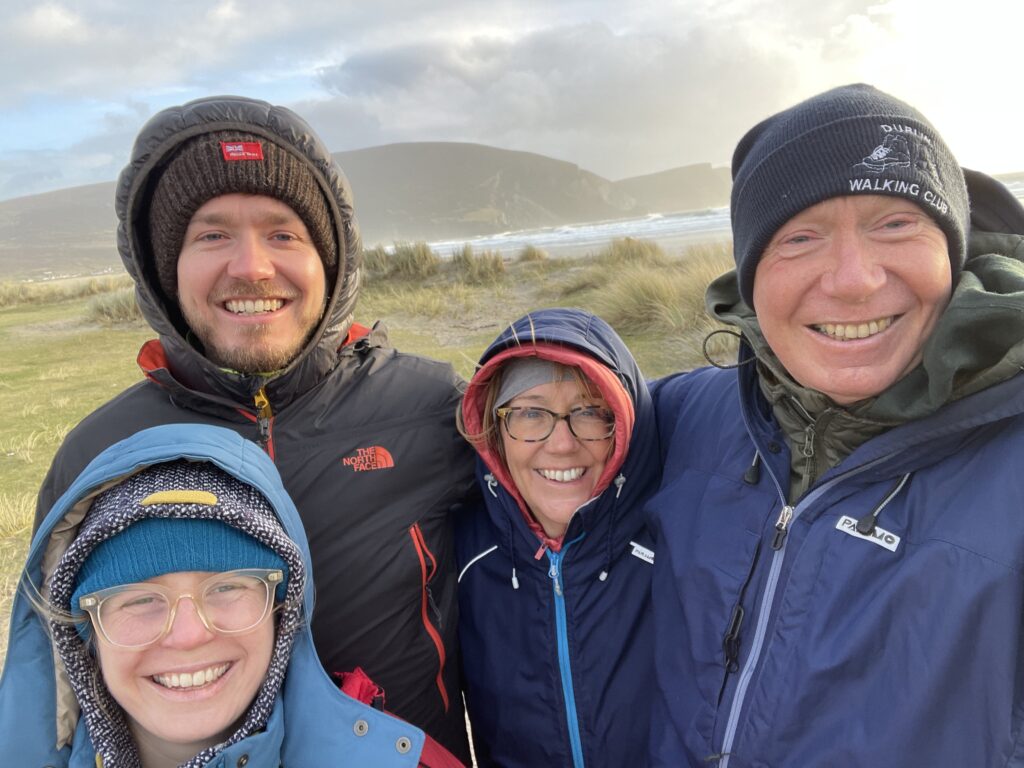
James drove us over to Achill Island and up to the top of the Minaun road by the radio masts. We climbed up to the very summit of the hill about 500m to the south but it was a major struggle in the stormy wind. Didn’t linger on the summit as it was so cold and windy.
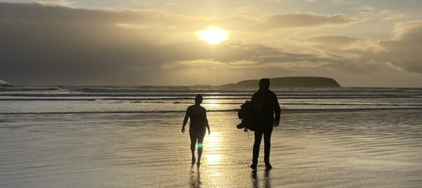
From there we drove down to Keel Beach – supposedly one of the best beaches in Ireland. After a short walk on the sand, in the rain, Katie went for a short swim which was astonishing, given the conditions. Quite a crowd of curious onlookers appeared from nowhere!
On the way back to the cottage afterwards, we stopped off in the Achill distillery – an artisan distiller, established five years ago. We had a look round – it was very laid-back – and of course tried some of their products (except for the driver). We bought a bottle to enjoy at leisure.
Spent the evening in our cottage (An Teach Ban – the white house) and enjoyed pork pibil and some board games in the evening.
Today’s photos (click to enlarge)
 |
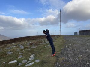 |
| I look a bit mad in this picture. I think it’s the wind.. | Leaning into it |
 |
 |
| Struggling to stand! | Summit of Minaun with the Mary on the top |
 |
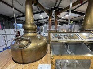 |
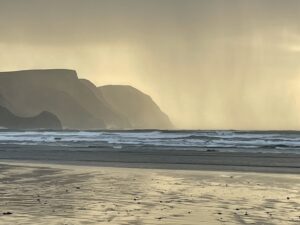
| Cliffs of Minaun | Inside the Achill distillery. No tours but we were free to wander wherever we wanted |
 |
|
| Just the weather for a quick dip! | |
Interactive map
(Elevations corrected at GPS Visualizer: Assign DEM elevation data to coordinates )
Max elevation: 457 m
Min elevation: 395 m
Total climbing: 80 m
Total descent: -80 m
Total time: 00:42:21
You can read earlier and later days’ blogs below
Previous day’s blog
Next day’s blog
Ireland home page
 Save as PDF