Ireland day 0506. Thursday 16 February 2023- Sands
| Today’s summary | Val had a day off so we listened to podcasts in the morning and walked down the coast to Portmarnock in the afternoon. Caught the bus back. | ||||
| Today’s weather | Rain overnight, which was quite heavy at times. But today was dry with light high cloud and some sunny intervals. Light southwesterly wind to start the day, getting stronger later. Appx 12C | ||||
 |
 |
||||
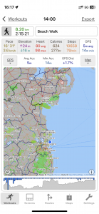
| Today’s overview location (The blue mark shows the location of our route) |
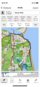
Close-up location (The green line shows where we walked) (Click button below to download GPX of today’s walk as recorded, or see interactive map at bottom with elevations corrected): Down the coast from Malahide |
||||
Commentary
(Summary blog only. Last full blog was Day 0368).
The last of Val’s days off work for a while, so we caught up on a couple of podcasts (again) in the morning, and had a late breakfast / early lunch of some of the smoked salmon we bought at Ikea yesterday – a real treat.
In the afternoon, we took advantage of the low tide to head off to Malahide beach and then down the sands right round the coast to Portmarnock (OK we had to dodge up onto the coast road near High Rock to avoid the Lithostrotion outcrops). Once back on the sand, we walked about halfway down the Velvet Strand then cut across the peninsula near the golf club. A short blast on the road brought us back to Portmarnock town centre, from where we caught a convenient bus back to Malahide.
So, an enjoyable, pleasant, day out but now I suppose we need to batten down the hatches in anticipation of Otto’s doubtless overstated arrival.
Today’s photos (click to enlarge)
 |
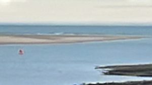 |
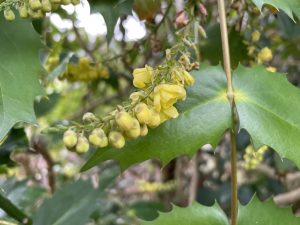
| Blossoming mahonia in the Casino grounds. Not really my favourite plant, but the flowers smell nice | There was a range of something dark lurking on the far horizon. I couldn’t believe it could be Wales (as we weren’t on high enough ground and the atmosphere didn’t seem clear enough), so I took this rather blurry long distance telephoto shot to see if I could work out what it was. The photo doesn’t really help actually but I’m pretty sure that whatever it was, it wasn’t Anglesey – more likely a distant bank of low cloud |
 |
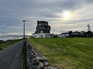 |
| Setting out down the coast at Malahide’s eastern edge. You can see how the old promenade, which was buried in the shifting sands over the past decades, is slowly being revealed again as winter storms wash the dunes away | The converted Martello at the top of Portmarnock beach. Always looks dramatic and brooding with the winter sun behind it. |
 |
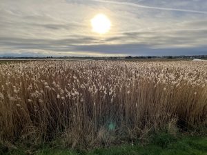 |
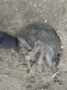
| Unappealing Lion’s Mane jellyfish washed up on Portmanock’s Velvet Strand. Quite unusual to see them in the winter, I think | A reed-filled lagoon behind the Portmarnock peninsula (near the golf club) |
 |
|
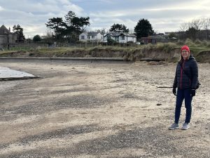
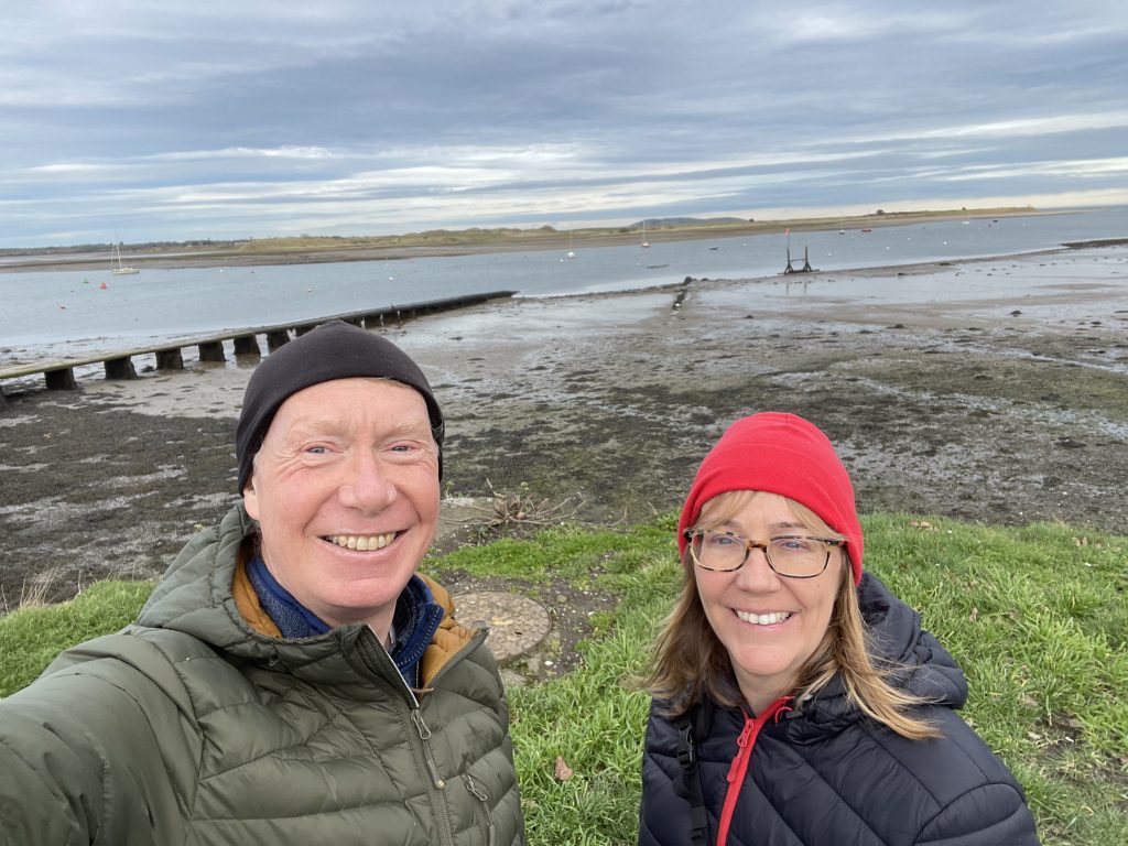
| About to set off! Very low tide in Malahide today, so lots of mud on display | |
Interactive map
(Elevations corrected at GPS Visualizer: Assign DEM elevation data to coordinates )
Max elevation: 16 m
Min elevation: -1 m
Total climbing: 81 m
Total descent: -86 m
Total time: 02:14:21
You can read earlier and later days’ blogs below
Previous day’s blog
Next day’s blog
Ireland home page
 Save as PDF