Ireland day 0493. Friday 03 February 2023- Coast Walk
| Today’s summary | Val had a day off so we walked together to Howth round the coast, spotting the Mournes en route. Chicken casserole for dinner afterwards | ||||
| Today’s weather | Dry and bright with plenty of sunshine until mid afternoon. Moderate westerly wind. Appx 11C. | ||||
 |
 |
||||
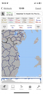
| Today’s overview location (The blue mark shows the location of our route) |
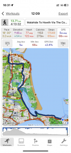
Close-up location (The blue line shows where we walked) (Click button below to download GPX of today’s walk as recorded, or see interactive map at bottom with elevations corrected): Malahide Paddy Sutton and Howth |
||||
Commentary
(Summary blog only. Last full blog was Day 0368).
It was another free day for Val today so we decided to make the most of the good weather and, after a relaxing morning, we headed off down the coast to Howth. It’s one of our favourite walks, up over Paddy’s Hill with its lofty skyscapes, down through Portmarnock town centre, and then out to Sutton via the Baldoyle Greenway.
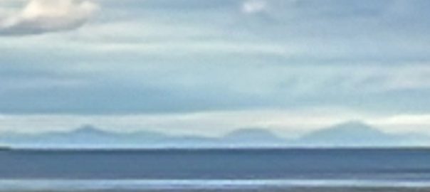
Once at Sutton, as the tide was out, we dropped down some promenade steps onto the beach and walked round the outer perimeter of Sutton golf course, following the route I explored a few weeks ago. To our surprise, the distant Mountains of Mourne appeared out of the haze to the north as we headed along the beach – you can see them in the banner image at the top of the blog. The peak to the right of the picture is Slieve Donard, the highest mountain in Northern Ireland.
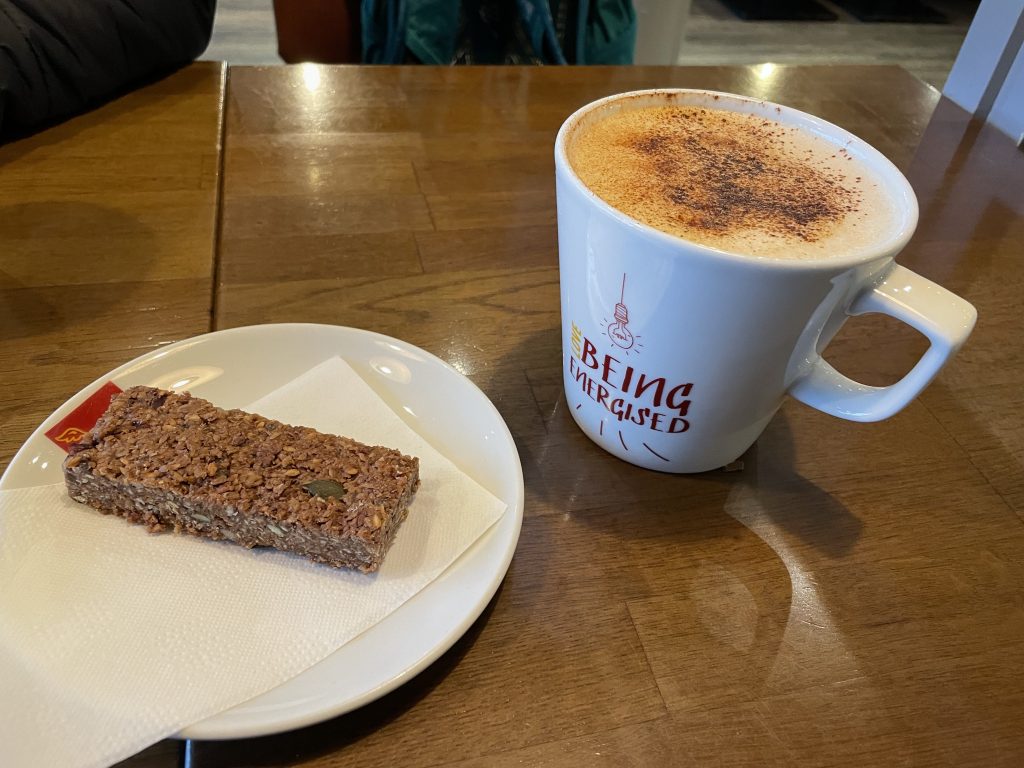
Overall, it was a fine walk to Howth, where we finished up with a decent coffee (and cake of course) in Insomnia. More chicken casserole for dinner tonight.
Today’s photos (click to enlarge)
 |
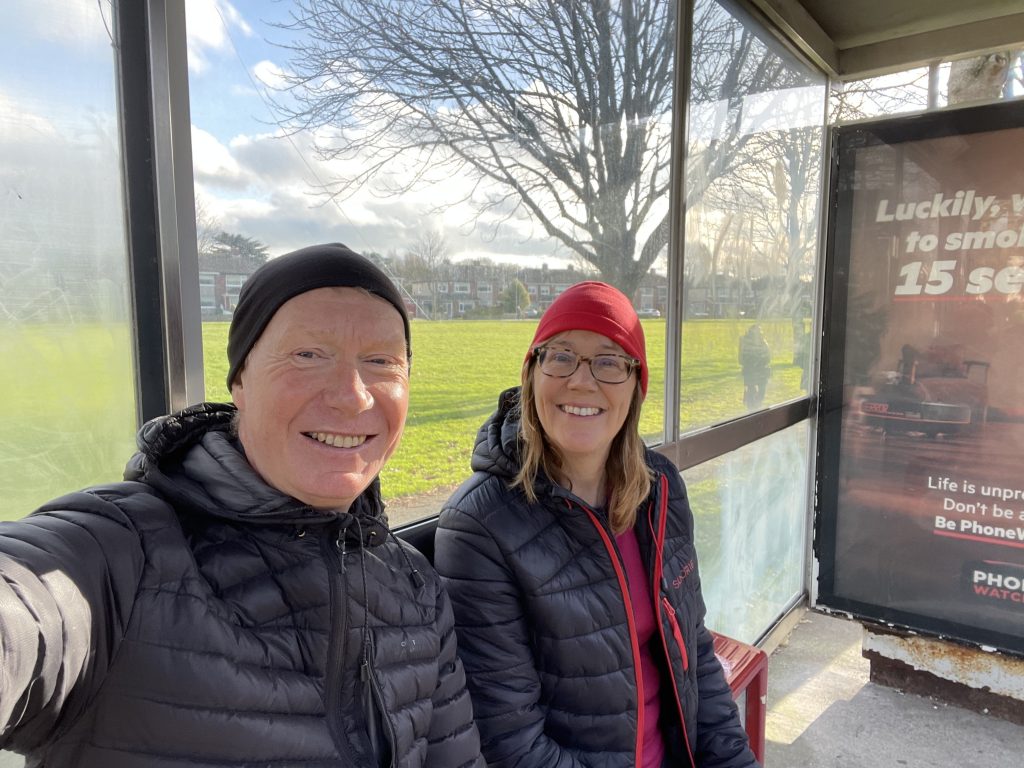 |
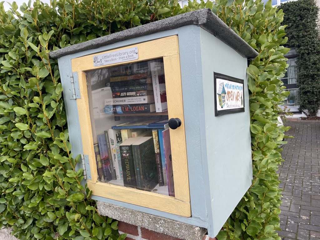
| Charming cube-style free library in someone’s front garden in Portmarnock | Glamorous setting for lunch – the bus stop on the H2 route |
 |
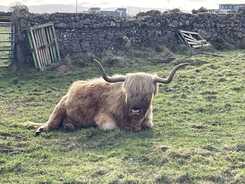 |
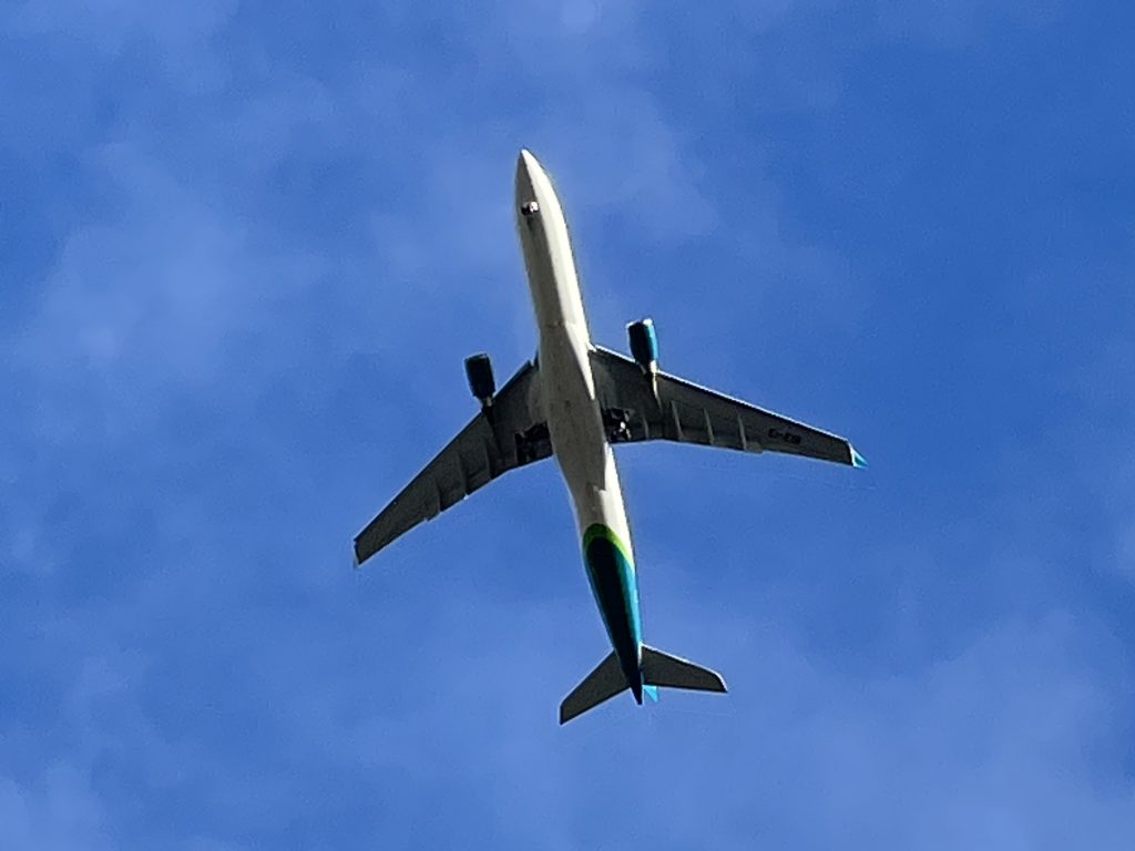
| The Baldoyle Greenway lies right under the flightpath for Dublin airport (and Flightradar confirmed the aircraft in the picture was the Aer Lingus arrival from Seattle – a mere nine hours away) | Clearly not bothered by the overhead comings and goings |
 |
 |
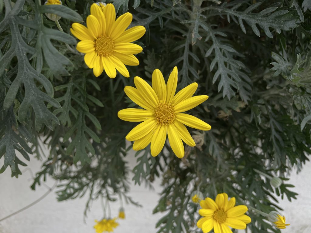
| I think this is a Green Leaved Euryops (Euryops pectinatus ‘Viridis’) | Journey’s end |
 |
|
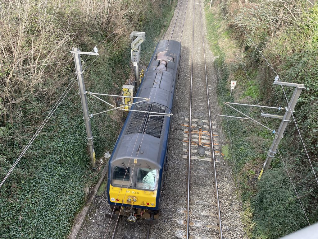
| The highlight of the day – and possibly of the week. An extremely rare solo Iarnród Éireann 201 class locomotive heading north from Portmarnock to Malahide. Goodness knows where it was going – normally they are confined to loco-hauled passenger trains running from Dublin to Cork. Type 201’s do haul the Enterprise service to Belfast, but this was in the wrong livery and also the number (216) isn’t used on this route. So it’s all a bit of a mystery really, but a fascinating chance encounter as it passed under the Back Road bridge. | |
Interactive map
(Elevations corrected at GPS Visualizer: Assign DEM elevation data to coordinates )
Max elevation: 49 m
Min elevation: 0 m
Total climbing: 112 m
Total descent: -116 m
Total time: 04:12:54
You can read earlier and later days’ blogs below
Previous day’s blog
Next day’s blog
Ireland home page
 Save as PDF