Ireland day 1567. Monday 12 January 2026- Flit Out
| Today’s summary | Got up early and caught a 102 bus at about 8am to Dublin airport for an 1120 Ryanair flight to London. Straight through bag drop and security with no queues. I’m delivering some luggage to London in advance of our main return at the end of the month. Val staying in Malahide and continiung packing up. Hard work with two bags and a rucksack! Beers with family in London in the evening. | ||||
| Today’s weather | Bright and dry with some sun. Milder than recently. Moderate south westerly wind. Appx 10c. Similar in Dublin and London but a bit of rain at Gatwick. | ||||
 |
 |
||||
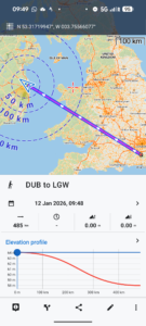
| Today’s overview location (The blue line shows my route) |
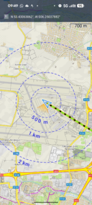
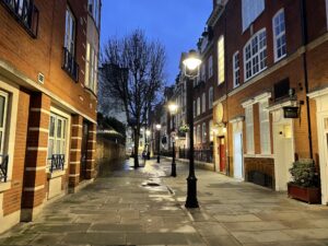
Close-up location (The green mark shows where I was) (Click button below to download GPX of today’s later evening walk as recorded, or see interactive map at bottom with elevations corrected): Covent Garden evening stroll |
||||
Commentary
Getting four and a half years worth of accumulated personal possessions across the Irish Sea is quite a logistical challenge. We were thwarted last week in stage 1 of our planned removal when our ferry was cancelled. But we will be picking that up again later this week.
Anyway stage 2 of the removal (which has inadvertently become stage 1) started today. I am making a solo “flit” to London with a couple of checked-in bags and a rucksack full of stuff. I’ll be returning to Malahide tomorrow.
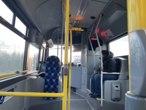
I had a Ryanair flight at 1120 so got up early and caught a 102 bus at just after 8am. Because I had so much stuff, Val heroically volunteered to help me manage it all on the bus, which made a massive difference. The bus journey was straightforward but slow. Because of all the rush hour traffic it ended up taking over an hour.
Also, to my embarrassment I had to get her help using the self service bag drop at Dublin airport. I never travel with checked bags so hadn’t used it before. But Val had and she had worked out what all the glitches and pitfalls were. Anyway it seemed straightforward enough and my case duly disappeared on the conveyor belt into the bowels of Dublin airport. After safely delivering me through the baggage handling system, Val left me to my own devices while she went off to Dublin to get some packing cases, while I completed the rest of the journey on my own.
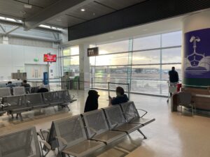
The airport seemed remarkably quiet today. There was absolutely no queue at security and I was through in about 60 seconds. All this meant of course that I arrived far too early and had to wait almost 2 hours at Gate 111 for my flight. But at least it meant that there was no panicky last minute rush.
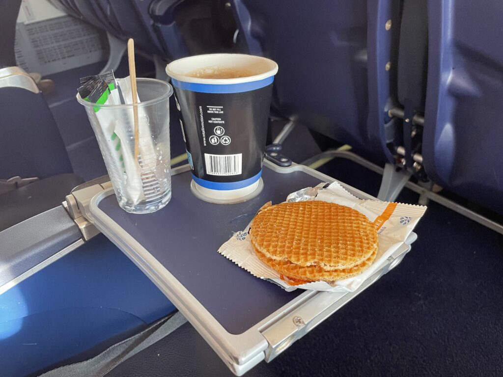
The flight was easy quick and straightforward. I paid extra for an emergency exit seat with more legroom which was worth every cent. The only downside was getting told off by cabin staff for drinking my cup of tea without the lid on. It’s “highly dangerous” I now know. Ah well you never stop learning.
We landed on time then after a brief wait at the baggage retrieval belt for my case (it miraculously appeared in about ten minutes) I was soon on a Thameslink train to London. I arrived at my destination about 2:00 after taking an Uber from the station. All that remains to do now is to unpack.
This evening I’m having beers with the family and then tomorrow – it’s an about turn and back to the airport.
Busy times!
Today’s photos (click to enlarge)
 |
 |
| Here we go again on the 102 once again | Val purposefully leading the way to the self service bag check. Thank goodness at least someone knows what they are doing! |
 |
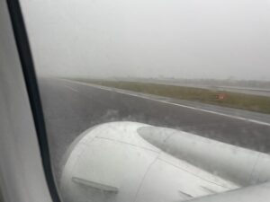 |
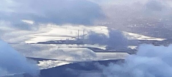
| Dublin airport unusually quiet today | Hmmm – rain in Gatwick. Fortunately it passed quite quickly |
 |
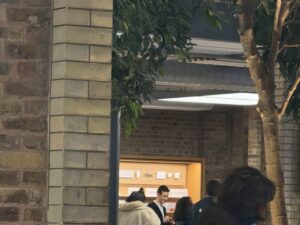 |
| In the evening I went on a short walk round Covent Garden. Here’s Broad Court looking very deluxe | Testing out the 8x zoom on an iPhone 17 pro max. Hard to tell if its any good or not but at £1999 it ought to be |
 |
|
| Whatever you do, don’t do this (i.e. don’t leave the lid off your tea on a Ryanair flight) | |
Interactive map
(Elevations corrected at GPS Visualizer: Assign DEM elevation data to coordinates )
Max elevation: 24 m
Min elevation: 17 m
Total climbing: 9 m
Total descent: -8 m
Total time: 00:30:42
You can read earlier and later days’ blogs below
Previous day’s blog
Next day’s blog
Ireland home page
 Save as PDF