
Ireland day 1469. Monday 06 October 2025- London 5
| Today’s summary | Met up with one of my friends for coffee and a chat first thing this morning. Walked together downriver to London Bridge than went our separate ways. Val went out to Oxfordshire in the morning to see the family and I took a train from Marylebone out to join her later in the afternoon | ||||
| Today’s weather | Dry sunny and bright. Light westerly wind. Appx 20c | ||||
 |
 |
||||
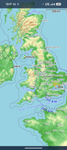
| Today’s overview location (The blue mark shows the location of our route) |
Close-up location (The blue line shows where we walked) (Click button below to download GPX of today’s walk as recorded, or see interactive map at bottom with elevations corrected): Covent Garden to London Bridge |
||||
Commentary
We are trying to make the most of our short stay in London to catch up with as many of our friends as possible in the brief time we’re here. So today I’d arranged to meet one of the friends I keep in touch with regularly by video from Ireland, but who I hadn’t seen in person probably since pre-pandemic. A long time, so lots to discuss! It was great to see him again and Val joined us for coffee before heading off on her own mission of the day. She was taking the train out to Oxfordshire to meet up with family, so she left soon after 11am.
My friend and I chatted for another hour or two, then decided to head out for a short walk. He had a meeting at London Bridge in the afternoon so I joined him for a very enjoyable sunny saunter across London and on to the South Bank. London was looking sparking in the early autumn sunshine. It was even quite mild, so a very pleasant excursion indeed.
Once at London Bridge, we said our goodbyes and I returned to central London by tube. As soon as I was back, I got some lunch (sorry to say it was just pastries and tea) then I set off up to Marylebone station to join Val out in Oxfordshire. Really looking forward to seeing family again!
So on that note, I’m going to sign off and make my way to the station. Back to Ireland tomorrow.
Today’s photos (click to enlarge)
 |
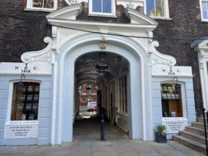 |
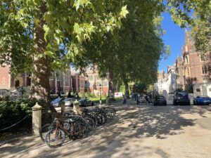
| Lincoln’s Inn this lunchtime | Exit from Lincoln’s Inn to Carey Street |
 |
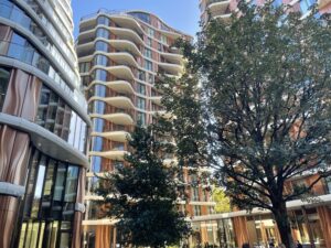 |
| The Shard dominating the South Bank, from the Millennium (aka “Wobbly”) bridge at St Pauls | Hinterland of the South Bank. Looking very up-market today |
 |
|
| Marylebone station – my favourite London terminus. Over the last 4 decades, I have travelled through it approximately 12,000 times. | |
 |
|
| Up close and personal with The Shard, at London Bridge | |
Interactive map
(Elevations corrected at GPS Visualizer: Assign DEM elevation data to coordinates )
Max elevation: 24 m
Min elevation: 2 m
Total climbing: 26 m
Total descent: -46 m
Total time: 00:48:12
You can read earlier and later days’ blogs below
Previous day’s blog
Next day’s blog
Ireland home pagrt
 Save as PDF