Ireland day 0418. Sunday 20 November 2022- Sugarloaf Circuit DWC
| Today’s summary | Val was walking all day and evening so I drove down with friends to Kilmacanogue for a circular Club walk round the Sugarloaf. A gentle walk and lots of chatting. Refreshments in Plucks at the end | ||||
| Today’s weather | Overcast with a shower in the morning but bright sun from noon onwards and lasting all afternoon. Moderate southwesterly wind, strong at higher levels. About 8C | ||||
 |
 |
||||
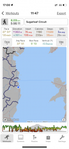
| Today’s overview location (The blue mark shows the location of our route) |
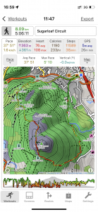
Close-up location (The green line shows where we walked) (Click button below to download GPX of today’s walk as recorded, or see interactive map at bottom with elevations corrected): Sugarloaf circuit DWC |
||||
Commentary
(Summary blog only. Last full blog was Day 0368).
Val had another “double shift” (i.e. Museum + Castle) day today so I collected three friends from the DWC and we drove down to Kilmacanogue for a circular walk round the Sugarloaf in the afternoon.
Definitely not the fastest walk I’ve ever done but very enjoyable and as there were 15 of us there was of course lots of chatting to be done. Weather was near-perfect with lots of sun and clear blue skies, which was a bit of a miracle considering yesterday night’s rain and the dreadful outlook for tomorrow.
Time for a quick refreshment in Pluck’s at the end though a bit limited for me as I was driving. Really enjoyed the walk and the opportunity to be out in the fresh air and sun
Today’s photos (click to enlarge)
 |
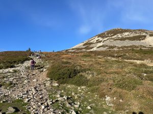 |
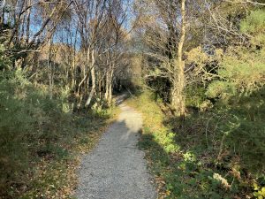
| Setting out from Kilmacanogue on the clockwise circuit. The path has been improved a lot recently | Looking up to the Sugarloaf, on the right, from our lunch spot |
 |
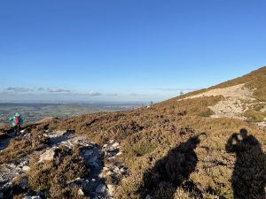 |
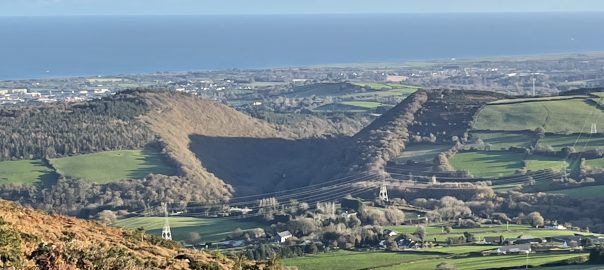
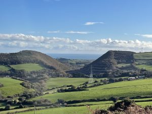
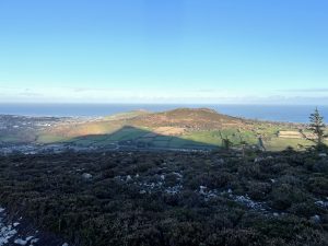
| South westerly view through the Glen of the Downs to the coast near Wicklow (also shown in the featured image at the top of the blog). It’s a periglacial feature presumably caused by fluvial erosion from an ephemeral lake (like Blessington Lake) flooded with meltwaters at the end of the last ice age | On the high point of the path, just below the summit of the Sugarloaf and looking north towards Killiney |
 |
 |
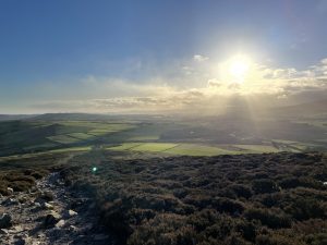
| Looking west into the late autumn sun just grazing the tops of the Wicklow Hills | Unmistakeable triangular shadow of the Great Sugarloaf cast on the slopes of the Little Sugarloaf |
 |
|
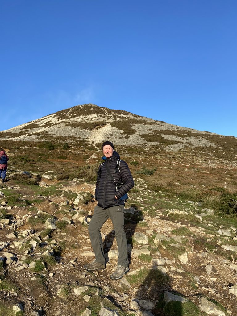
| Just below the summit of the Great Sugarloaf (we didn’t have time to go up to the very top today). Photo: DWC |
|
Interactive map
(Elevations corrected at GPS Visualizer: Assign DEM elevation data to coordinates )
Max elevation: 438 m
Min elevation: 79 m
Total climbing: 392 m
Total descent: -392 m
Total time: 05:06:33
You can read earlier and later days’ blogs below
Previous day’s blog
Next day’s blog
Ireland home page
 Save as PDF