Ireland day 0410. Saturday 12 November 2022- Curtlestown and Maulin
| Today’s summary | I joined the Walking Club for a walk up Maulin from the Curtlestown Woods in drizzly and misty conditions. The Autumn colours were dazzling. Spent the evening trying to sort out a problem with this website. Val was working at Wonderlights in the eve ing so had to miss the outing. | ||||
| Today’s weather | Clammy and mild. Heavily overcast all day, with drizzle later. Moderate south easterly wind, very strong on the top of Maulin. Still very mild at about 16C (in Enniskerry) | ||||
 |
 |
||||
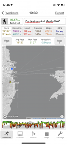
| Today’s overview location (The blue mark shows the location of our route) |
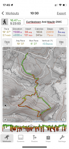
Close-up location (The green line shows where we walked) (Click button below to download GPX of today’s walk as recorded, or see interactive map at bottom with elevations corrected): Curtlestown and Maulin DWC |
||||
Commentary
(Summary blog only. Last full blog was Day 0368).
Today was a repeat of a lasso-shaped Club hike from Curtlestown woods up Maulin and back – which we first completed with the DWC last year. The last time, we had a cold crystal clear day with view right over the Irish Sea to Wales.
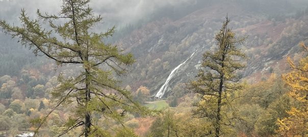
Today was completely different – very mild but heavily overcast with thick drizzle and almost no views. But the dazzling autumn colours more than made up for it. As well as the continuing abundance of fungi.
A very enjoyable outing, though Val unfortunately had to miss it because of Wonderlights commitments in the evening.
Spent much of the evening trying to sort out a problem with this website, Adamswalk.net.
Today’s photos (click to enlarge)
 |
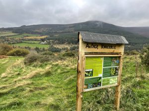 |
| Close to the start point at the Curtlestown Woods car park. A lot of the route actually followed the Wicklow Way. | Below the Knockree youth hostel (An Oige). It’s said that at the moment it’s being used as Direct Provision centre for Ukranian refugees |
 |
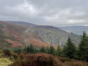 |
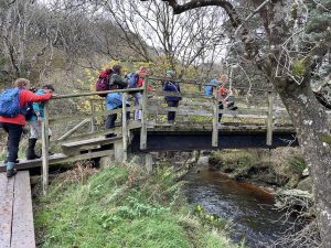
| Crossing the Glencree River via the Wicklow Way bridge | Looking up the valley, towards Glencree and the hills above Upper and Lower Lough Bray |
 |
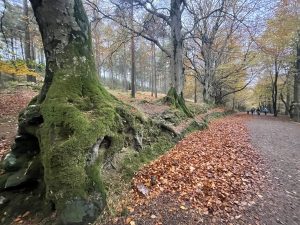 |
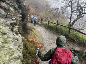
| On the galleried path above Powerscourt (the waterfall is in the feature image, above – must make a note to visit one day) | A fine example of edaphoecotropism – where a tree grows round and engulfs a static object. In this case the object in question is a wall |
 |
|
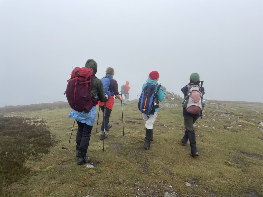
| Approaching the summit of Maulin, in thick mist | |
Interactive map
(Elevations corrected at GPS Visualizer: Assign DEM elevation data to coordinates )
Max elevation: 562 m
Min elevation: 103 m
Total climbing: 802 m
Total descent: -801 m
Total time: 05:22:21
You can read earlier and later days’ blogs below
Previous day’s blog
Next day’s blog
Ireland home page
 Save as PDF