Ireland day 1499. Wednesday 05 November 2025- Low Key Day
| Today’s summary | Spent the morning working through plans and admin with Val. In the afternoon went on a short walk round the marina while Val went running. In the late afternoon, drove to South Dublin for an evening meeting. On return to Malahide, had colcannon and black pudding for dinner. | ||||
| Today’s weather | Overcast but mostly dry after overnight rain. Light southerly breeze. Appx 15c | ||||
 |
 |
||||
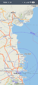
| Today’s overview location (The blue mark shows the location of my route) |
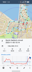
Close-up location (The blue line shows where I walked) (Click button below to download GPX of today’s walk as recorded, or see interactive map at bottom with elevations corrected): Marina via Tesco |
||||
Commentary
Today was a relatively low key day. I went into town first thing to deal with a couple of jobs. Then the rest of the morning was spent with Val planning our comings and goings for the next few weeks. We’ve got quite a lot on, and wanted to get organised in advance so events don’t overtake us.
Next on the list, after another light lunch of marineira biscuits with hummus and pesto, was to get a bit of fresh air. So Val headed off to run round the Demesne, while I went in a short walk round the marina. Oh and yes, I called in at Tesco on the way to get some sports drinks, which are on special offer at the moment.
Most of the rest of the day for me was spent in a meeting in south Dublin. So I set off at about 4pm, whizzed (slowly) round the M50, had the meeting and retraced my steps to Malahide. I was back by 7:30pm.
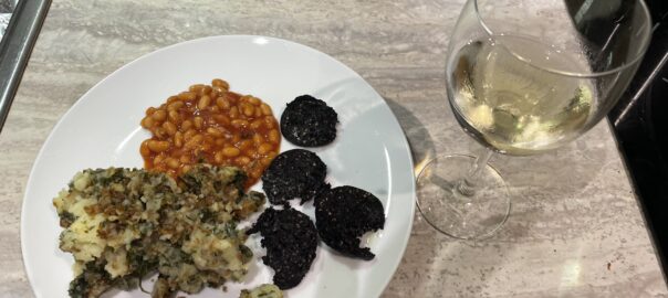
For dinner, Val had scoured the fridge for vegetables that needed processing before they got up and walked out on their own. So we had some delicious colcannon and black pudding, which went down very nicely with a bottle of Picpoul de Pinet which had also been lurking in the fridge for a while.
Overall, then, a fairly uneventful day though it did feel like we had got quite a lot accomplished.
Today’s photos (click to enlarge)
 |
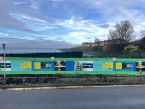 |
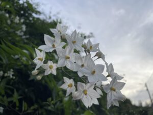
| “False” jasmine still in full bloom and seemingly very happy art the bottom of Hanlon’s Lane. The “real” jasmine which grows alongside it seems to have packed up for the winter | Hoarding still blocks access to the new greenway over the Broadmeadow estuary. There is little sign of the connecting paths at either end being worked on at the moment. All a bit frustrating really for those of us who would like a shortcut route to Donabate! |
 |
 |
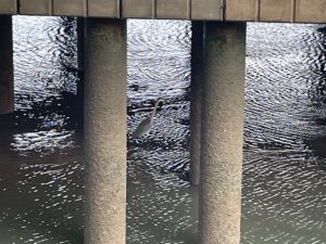
| Heron perching on the low tide mudflats under “The View” suspended offices in the marina | In Malahide Green park, looking over towards Donnybrook Fair |
 |
|
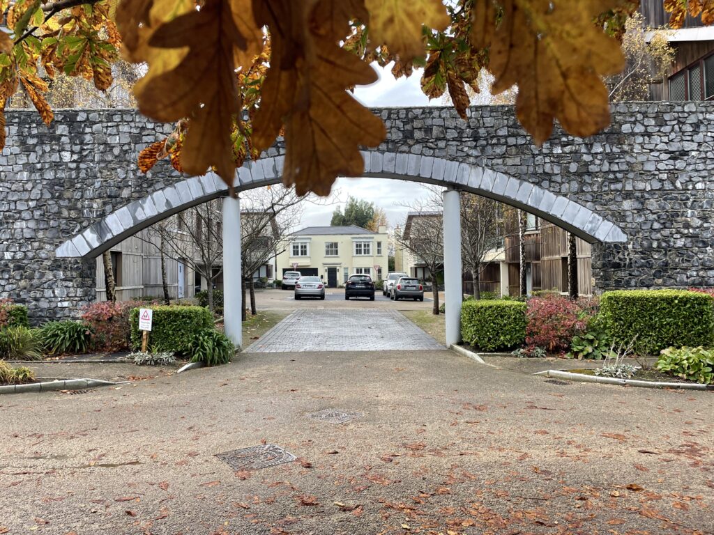
| One of the more interesting bits of nonfunctional architecture in the Casino community where we live | |
Interactive map
(Elevations corrected at GPS Visualizer: Assign DEM elevation data to coordinates )
Max elevation: 16 m
Min elevation: 2 m
Total climbing: 31 m
Total descent: -30 m
Total time: 00:30:44
You can read earlier and later days’ blogs below
Previous day’s blog
Next day’s blog
Ireland home page
 Save as PDF