Ireland day 1447. Sunday 14 September 2025- Merrion
| Today’s summary | Celebrating (almost) four years in Ireland with a blow-out couple of nights in two of Dublin’s poshest hotels. This morning we spent dealing with some admin then packed our stuff and came into Dublin mid-afternoon on the DART. Walked from Pearse to the Merrion hotel which is where we are staying tonight. Went swimming in the deluxe pool then went to Table 45 restaurant (nearby) for a Spanish meal. A fabulous evening out and an even more fabulous hotel room that is accommodating us. Thanks so much to Val for organising everything! | ||||
| Today’s weather | Stormy and wet in the morning. A bit calmer with some sun later in the afternoon. Gale force south easterly wind. Appx 16c | ||||
 |
 |
||||
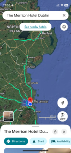
| Today’s overview location (The blue mark shows the location of our route) |
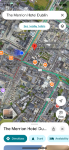
Close-up location (The blue line shows where we walked) (No GPX today) |
||||
Commentary
Today’s and tomorrow’s blogs are going to to be a bit shorter than normal because we are officially having a Treat.
It’s been almost four years since we moved to Ireland so we thought it was about time to have a bit of pampering. So we are spending tonight and tomorrow nights staying in two of Dublin’s smartest hotels.
We started the day in Malahide in a rather more mundane fashion, though, by knocking off a couple of admin tasks that had been hanging over us for a few days. They were done by mid-day so at that point we had some onion bhajis and coffee by way of a light lunch. Then we packed all our gear and got ready to go out.
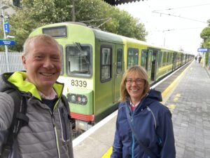
We caught a DART into town around 3pm and were soon getting off again at Pearse and heading down Westland Row to the Merrion Hotel.
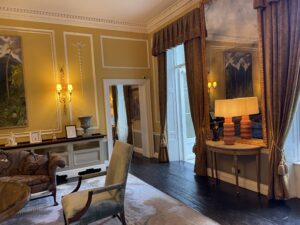
We’re staying in an absolutely fabulous room which is tranquil, beautifully furnished and generally very luxurious. Much like the whole hotel, in fact. A well earned special event and – so far at least – seems like excellent value for money. If only I was a multibillionaire so I could afford to say here every day!
Once we had settled in and had a cup of tea, I went down to the spa and spent half an hour in the pool and sauna. It was so wonderful I feel I could definitely live here permanently. Hah!
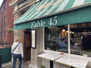
Once suitably refreshed, we got ourselves dressed up again and headed out into night-time Dublin to go back to Table 45. It’s the Spanish restaurant just around the corner from here that we visited a couple of weeks ago and really enjoyed. So we decided to go back again tonight. Another delicious treat!
We rounded off the day in the hotel bar, with a suitable nightcap before retiring to our room to make the most of the fabulous facilities before going to bed.
Sincere thanks to Val for organising it all. Wow, just wow.
Today’s photos (click to enlarge)
 |
 |
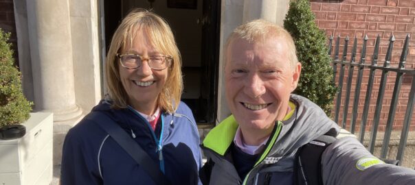
| Our start to the day. The DART was an interesting contrast to the luxury of the hotel | The Merrion hotel reception lobby. It even smells nice here |
 |
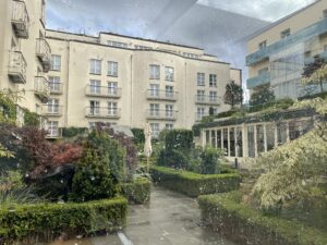 |
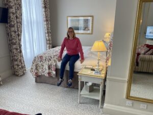
| No – Val hasn’t shrunk. It’s just a Very Big Bed | One of the inner garden courtyards of the hotel (taken through a window, hence the reflections). What a gem, right in the middle of Dublin |
 |
 |
| Dinner venue. Fabulous tapas | Office of the Taoiseach tonight -in Merrion Street right opposite our hotel |
 |
|
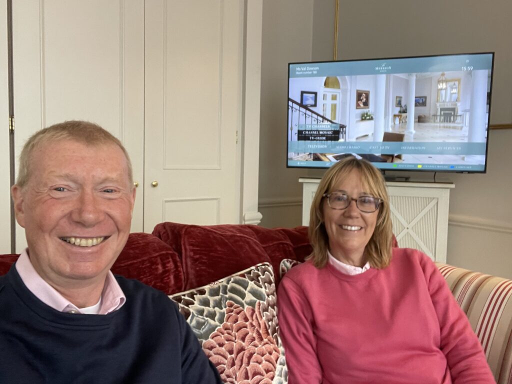
| Settling in nicely. The sofas are SOOO comfortable if I sat too long in them I would be sure to fall asleep | |
Interactive map
(No map today)
You can read earlier and later days’ blogs below
Previous day’s blog
Next day’s blog
Ireland home page
 Save as PDF